2011 Texas Wildfires Burn as Northeast Gets 29T Gallons of Water [PHOTOS]
One man's feast is truly another man's famine.
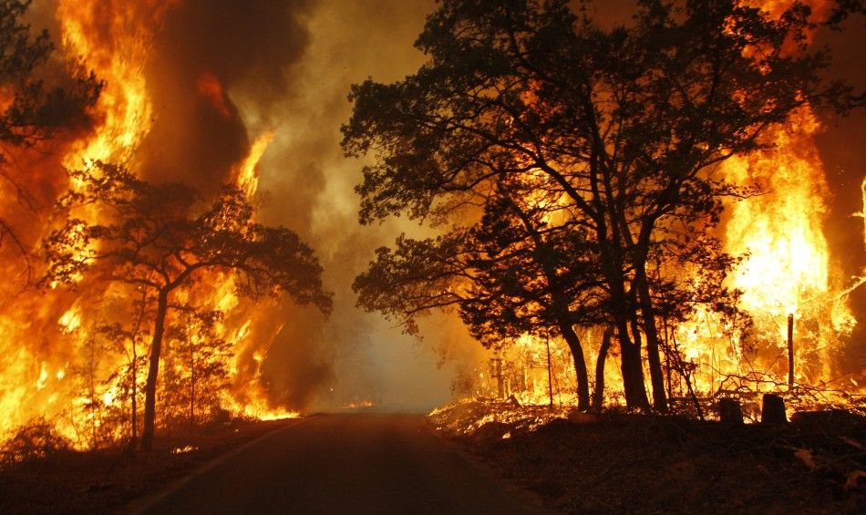
While dozens of wildfires in Texas burn more than 156,000 acres, a severe weather climate expert estimates that 29 trillion gallons of water fell between Louisiana and Upstate New York, triggering the massive flood.
Greg Forbes, a severe weather expert with The Weather Channel, said that an estimated 1,350-mile-long swath averaging 5 inches of rain stretched from Louisiana to Upstate New York.
Forbes estimates that 29 trillion gallons of water was deposited in this swath.
If this had fallen over parched Texas, the entire state would've gotten 6 inches of rain, according to The Weather Channel.
The Texas Forest Service issued an update on Friday stating that they responded to an additional 19 new fires for 673 acres, including new large fires in Camp and Hill counties. Within the past seven days Texas Forest Service has responded to 186 fires for 156,517 acres.
About 250 of the 254 Texas counties are reporting burn bans.
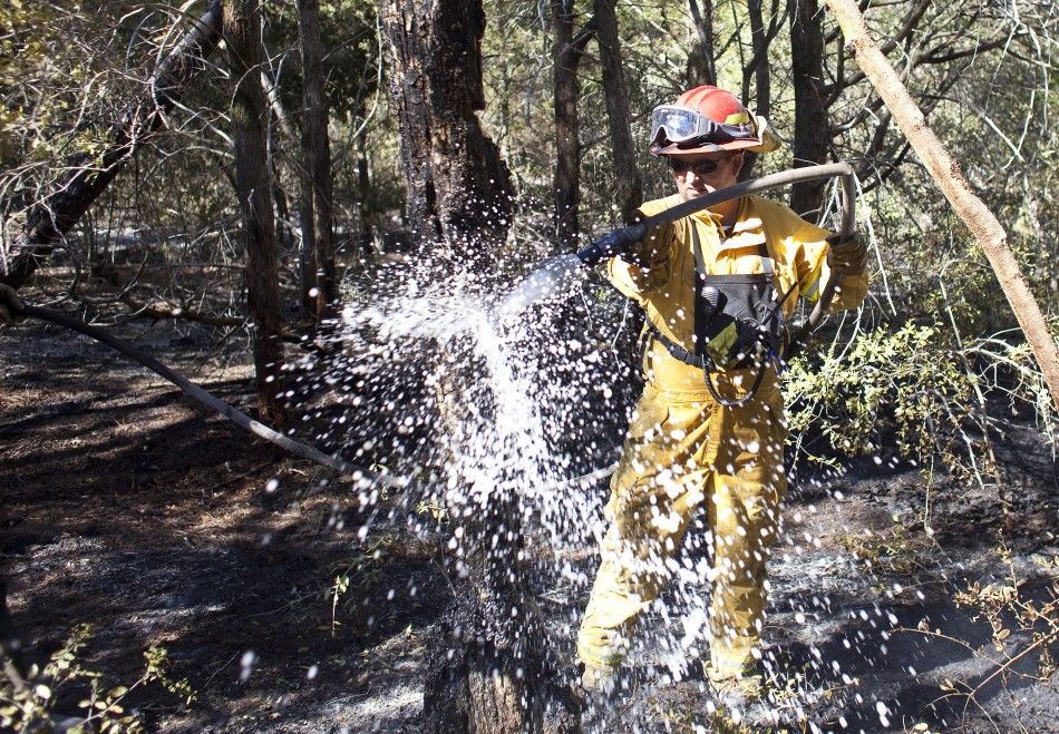
An enormous destructive fire is still burning on Friday southeast of Austin with nearly 850 firefighters making progress battling the blaze.
Things are looking pretty good out there, said Bastrop County Emergency Coordinator Mike Fisher, to Reuters.
About 1,386 homes have been destroyed over 34,038 acres in the Bastrop County Complex fire. This is said to be more homes than any other single blaze in Texas history. The fire was 30 percent contained as of Thursday.
Winds from Tropical Storm Lee have coupled with the drought helped the fires to rage.
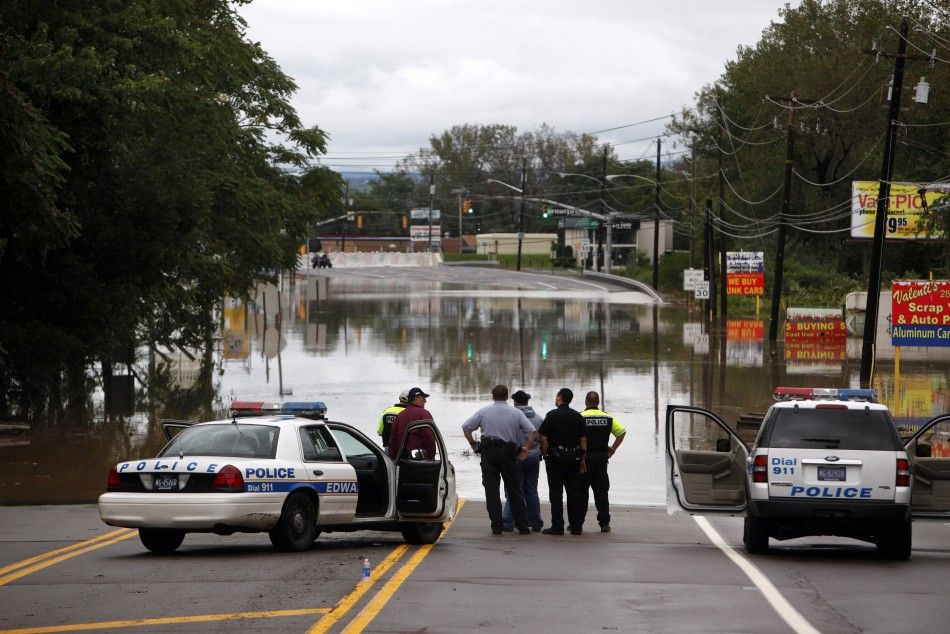
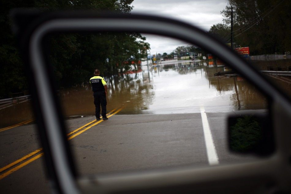
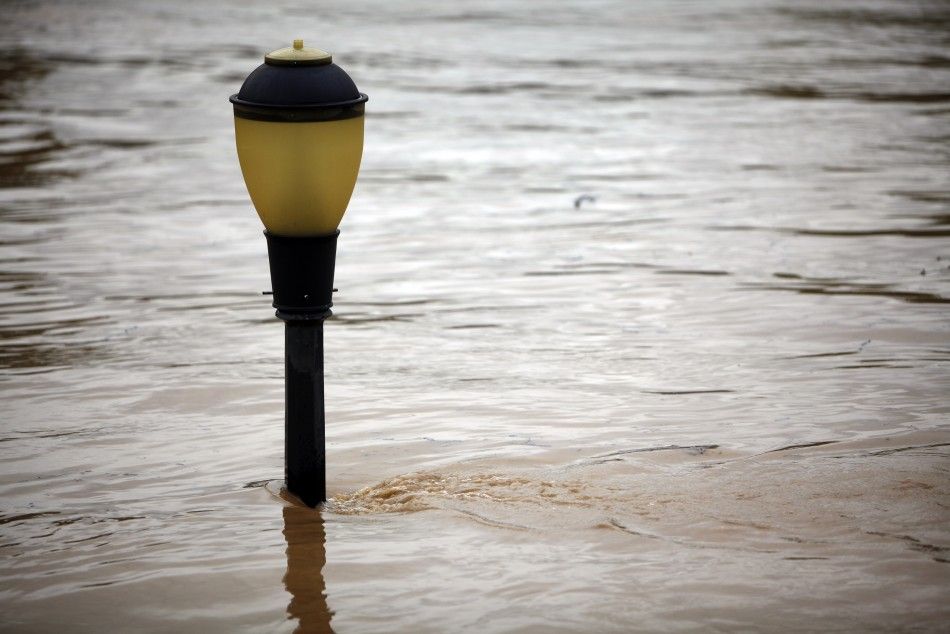
But over on the northeast, Lee's remnants dumped up to 10 inches of rainfall in 10 states from the Gulf Coast to New England.
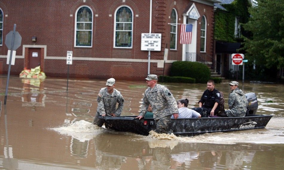
Authorities have associated five deaths so far with the flooding along the northeast of the U.S. Emergencies have been declared in many counties and more than 100,000 people were forced to evacuate.
Here are the highest rainfall totals by state, as of early Thursday morning, according to The Weather Channel:
| New York | Apalachin (2.6 mi. SE) | 11.82 |
| Pennsylvania | Elizabethtown | 15.37 |
| New Jersey | Phillipsburg | 9.55 |
| Maryland/D.C. | Waldorf (3.6 mi. SSE) | 11.66 |
| Delaware | Newark | 4.85 |
| Massachusetts | Becket | 9.06 |
| Connecticut | Black Rock Lake | 6.23 |
| Rhode Island | West Warwick | 5.20 |
| Vermont | Pownal | 6.61 |
| New Hampshire | Keene | 6.18 |
| Maine | Lincoln (4.3 mi. NW) | 3.08 |
| Virginia | Ft. Belvoir/Davison AFB | 13.52 |
| W. Virginia | Boothsville | 5.37 |
| N. Carolina | Blowing Rock | 8.50 |
| Kentucky | Cranks Cr. Res. | 5.49 |
| Tennessee | Cleveland | 12.22 |
| Georgia | La Fayette | 11.01 |
| Alabama | Fyffe (6.3 mi. NNE) | 12.94 |
| Mississippi | Waveland | 14.11 |
| Florida | Milton | 10.03 |
| Louisiana | Holden | 15.43 |
And here's a list of the notable rainfall and flood records that have been set so far, also from The Weather Channel :
| Wilkes-Barre, PA (Susquehanna R.) | Previous record: 6/24/1972 (Agnes) |
| Lancaster, PA (Conestoga R.) | Previous record: 6/23/1972 (Agnes) |
| Hershey, PA (Swatara Cr.) | Previous record: 6/29/2006 |
| Loyalsockville, PA (Loyalsock Cr.) | Previous record: 1/19/1996 |
| Waverly, PA (Susquehanna R.) | Previous record: 6/29/2006 |
| Meshoppen, PA (Susquehanna R.) | Previous record: 6/23/1972 (Agnes) |
| Sherburne, NY (Chenango R.) | Previous record: 6/28/2006 |
| Rockdale, NY (Unadilla R.) | Previous record: 6/29/2006 |
| Owego, NY (Susquehanna R.) | Previous record: 6/29/2006 |
| Vestal, NY (Susquehanna R.) | Previous record: 6/28/2006 |
| Binghamton, NY (Susquehanna R.) | Previous record: 6/28/2006 |
| Monroeton, PA (Towanda Cr.) | Previous record: 1/19/1996 |
| Binghamton, NY: Wettest day (7.49 on Sep. 7) | Previous record: 4.24 (9/30/2010) |
| Binghamton, NY: Wettest year | Previous record: 49.78 (2006) |
| Jackson, MS: Record 24-hour rain (10.68) | Previous record: 8.50 Apr. 6-7, 2003 |

© Copyright IBTimes 2024. All rights reserved.


