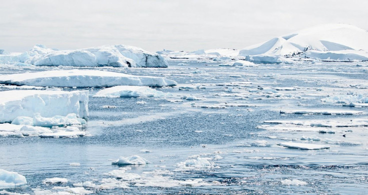
300-Mile-Long Hidden River Found In Antarctica, Could Raise Sea Levels By 14 Feet [Photo]
KEY POINTS
- The hidden river was discovered with the help of using ice-penetrating radar mounted on aircraft
- The under-ice river system is located under four flowing masses of ice
- The river was found to emerge from under a floating ice shelf into the Weddell Sea
A nearly 300-mile-long river discovered in Antarctica has the potential to accelerate ice loss to a staggering 14.1 feet if the region it drains melts completely.
The river, longer than England's Thames, drains an area the size of France and Germany combined, a new study, published in the journal Nature Geoscience, found. The discovery was made by researchers at Imperial College London, the University of Waterloo, Canada, Universiti Malaysia Terengganu, and Newcastle University.
"When we first discovered lakes beneath the Antarctic ice a couple of decades ago, we thought they were isolated from each other," co-author professor Martin Siegert, from the Grantham Institute at Imperial College London, said in a statement. "Now we are starting to understand there are whole systems down there, interconnected by vast river networks, just as they might be if there weren't thousands of meters of ice on top of them."
Enormous river discovered beneath Antarctica is nearly 300 miles long https://t.co/UaiXvZcHAC
— Live Science (@LiveScience) November 2, 2022
The hidden river was discovered with the help of using ice-penetrating radar mounted on aircraft. Researchers homed in on a largely inaccessible and understudied area that includes ice from both the East and West Antarctic Ice Sheets. The aerial surveys revealed a meandering river system 285 miles long that drains into the Weddell Sea.
"The region where this study is based holds enough ice to raise the sea level globally by 4.3m. How much of this ice melts, and how quickly, is linked to how slippery the base of the ice is. The newly discovered river system could strongly influence this process," Siegert said further.
The under-ice river system is located under four flowing masses of ice: the Institute Ice Stream, the Mӧller Ice Stream, the Support Force Glacier, and Foundation Ice Stream/Academy Glacier, reported LiveScience.
The fact that such a large system could be unknown until now just goes to show how much we still need to learn about the continent, lead researcher Dr. Christine Dow from the University of Waterloo said.
The river was found to emerge from under a floating ice shelf into the Weddell Sea. Here, the meltwater has the potential to further melt ice at the ice shelf from below. This destabilization could lead to thinning and fracturing of the ice sitting above the Antarctic bedrock. Consequently, the friction of the thin, fractured ice against the rock could melt ice more rapidly. This, if it happens, will add more water to the under-ice river system and further expedite the melting of the ice shelf.
"From satellite measurements we know which regions of Antarctica are losing ice, and how much, but we don't necessarily know why. This discovery could be a missing link in our models. We could be hugely underestimating how quickly the system will melt by not accounting for the influence of these river systems," Dow said in the same statement.
The European Space Agency (ESA) recently released a satellite image of the 'Halloween Crack' near the Weddell Sea in Antarctica.
"If and when this potential rupture point finally gives way, it is expected to spawn a huge iceberg about 1750 square kilometers [675 square miles]," ESA officials wrote Monday, "which is over five times bigger than the size of Malta."

© Copyright IBTimes 2024. All rights reserved.


