California, Neighboring States Brace For Major Winter Storm; Up To 25 Inches Of Snow Possible

KEY POINTS
- "Whiteout" conditions are possible in parts of California
- Strong winds with heavy rain and snow are expected to affect parts of Oregon
- Extreme weather conditions can cause power outages in Nevada
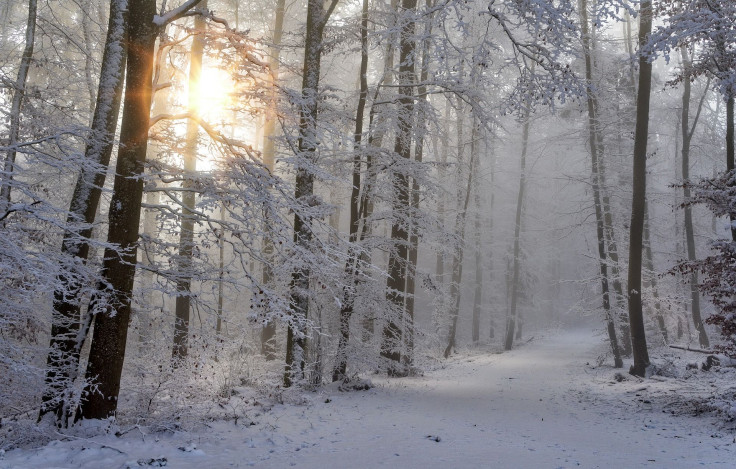
Weather forecasters have warned heavy snowfall could batter the western states of California, Oregon and Nevada from Thursday through the weekend. There could be "major" winter storm impacts in the Cascade Range and up to 25 inches of snow accumulations in parts of the affected states.
"Looking toward the west, the next Pacific system arriving along the West Coast is on track to spread low elevation rainfall and heavy high elevation snows to the Pacific Northwest into Central California beginning tonight," the National Weather Service (NWS) said in a report Wednesday.
The agency warned of a "major winter storm" that is expected to hit California this weekend, adding travel will either be difficult or impossible due to "whiteout conditions."
⚠️Major Winter Storm this Weekend⚠️
— NWS Sacramento (@NWSSacramento) December 7, 2022
Heavy snow is expected over the mountains this weekend. Travel will be difficult to impossible especially Saturday with whiteout conditions. Be sure to plan ahead if you have mountain travel plans. #CAwx pic.twitter.com/PxmteICF2Y
Whiteouts refer to severe storm conditions that include wind drifts, blowing snow, high winds and reduced visibility, according to state-designated off-road safety education provider Offroad-ed.
Aside from whiteout conditions, up to 24 inches of snow accumulations are possible above 3,500 feet in the Sierra mountain range.
Oregon could witness up to 12 inches of snow accumulations in the Santiam Pass and up to eight inches in the Willamette Pass area.
A system moving in tonight-Thu night will bring:
— NWS Portland (@NWSPortland) December 7, 2022
- Lowland rain & mountain snow
- Snow and a chance of freezing rain along the Gorge.
Have mountain travel plans? Do you have a winter emergency supply kit? Anyone heading up towards Mt. St. Helens will need a bigger shovel. pic.twitter.com/jd236E7Nj3
The NWS office in Medford has also released a timeline of winter storms that are expected to hit the state this week. It forecasted that strong winds mixed with moderate to heavy rain and snow will affect Shasta Valley, the Oregon Coast and the East Side region.
Have you seen the timeline for expected impacts from winter storms later this week?
— NWS Medford (@NWSMedford) December 7, 2022
Take a look! pic.twitter.com/ffIwdStW9n
In Nevada, strong winds could cause damage to trees and lead to power outages.
A Winter Storm Watch is in effect from 10pm Fri-4am Mon for the Lake Tahoe Area, Mono Cty, and NE CA. Heavy snow may create dangerous winter weather conditions and travel may be difficult to impossible during this period. More details here: https://t.co/b8YxIxHL0c #CAwx #NVwx pic.twitter.com/Pdh5B7ntE3
— NWS Reno (@NWSReno) December 7, 2022
California winter alerts
Winter storm watch effective from Friday afternoon through 4 p.m. Saturday:
- Western Siskiyou County
- Shasta Valley – I-5 near Hilt, near highway 96 and 263 and near Weed (wind gusts of up to 60 mph possible)
- South Central Siskiyou County (up to 25 inches of snow accumulations possible)
- North Central and Southeast Siskiyou County (up to 19 inches of snow possible)
- Northwest Modoc Counties
Winter storm watch effective from Friday afternoon through 4 a.m. Sunday:
- Northern Trinity (up to 24 inches of snow possible)
Winter storm watch effective from Friday afternoon through 4 a.m. Monday:
- Eastern Sierra Slopes – White Mountains of Inyo County (up to 16 inches of snowpossible)
- Sierra Counties – Lassen-Eastern and Plumas-Eastern (up to 8 inches of snow possible)
- Greater Lake Tahoe Area – on the side of California (wind gusts of up to 45 mph possible)
- Mono County (up to 18 inches of snow accumulations possible)
- Sequoia NP – Grant Grove Area, Kaiser to Rodgers Ridge, Kings Canyon NP, San Joaquin River Canyon and South End of the Upper Sierra
- Yosemite Valley – Mariposa-Madera Lower Siera, Upper San Joaquin River and Yosemite NP outside of the valley
- Burney Basin – Eastern Shasta County, West Slope Northern Sierra Nevada, Lassen Park and Western Plumas County (up to 24 inches of snow accumulations above 3,500 feet possible)
Oregon winter alerts
Winter storm watch effective from Friday afternoon through Saturday afternoon:
- Siskiyou Mountains – Southern Oregon Cascades (up to 17 inches of snow possible)
High wind advisory effective from Friday afternoon through 4 a.m. Saturday:
- Highway 101 – South Central Oregon Coast and Curry County Coast (up to 75 mph possible in the headlands)
Nevada winter alerts
Winter storm watch effective from Friday evening through 4 a.m. Monday:
- Greater Lake Tahoe – on the side of Nevada (up to 30 inches of snow accumulations possible)
© Copyright IBTimes 2024. All rights reserved.
- MOST POPULAR IN National