Cassini Data Creates Topographic Map Of Saturn’s Moon Titan, Shows Earth-Like Features

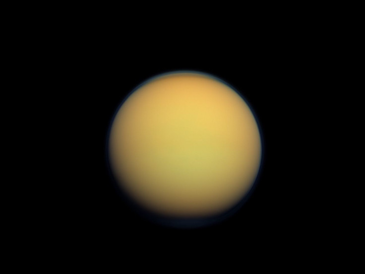
The oceans of liquid ethane and methane on the surface of Titan are certainly very different from the water bodies on Earth, but some of their properties and some of the other features on Saturn’s largest moon are much like those on our planet. Scientists have determined this fact using a topographic map created using data collected by the Cassini-Huygens mission.
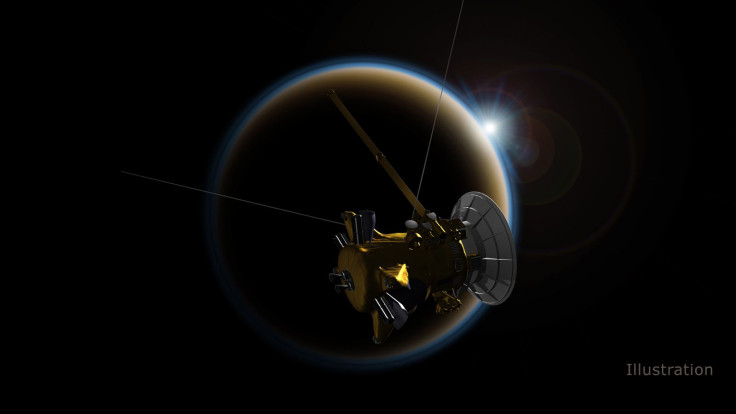
The mission — a collaboration between NASA, the European Space Agency and the Italian Space Agency — came to an end when the Cassini spacecraft plunged to its death into the atmosphere of Saturn on Sept. 15, 2017. Huygens was a lander that successfully made it to the surface of Titan on Jan. 14, 2005.
Since the lander stopped transmitting data about 90 minutes after landing on Titan, it was chiefly data collected by the Cassini probe that researchers, led by Cornell University’s Paul Corlies, used to create the map. Only 9 percent of the moon has been imaged in high-resolution topography, while another 25-30 percent of it has been imaged in lower resolution. The remaining portion, over 60 percent, “was mapped using an interpolation algorithm and a global minimization process, which reduced errors such as those arising from spacecraft location,” according to a statement Wednesday by the university.
The map, whose main purpose Corlies said was to be used by the scientific community, revealed new mountains on Titan, all less than 700 meters in height. There are also two depressions in the moon’s equatorial region, which are either ancients seas now dried up, or cryovolcanic flows.
Cryovolcanoes are volcanoes that, instead of lava, spew out icy, salty water when they erupt, sometimes mixed with mud. They have been observed on other bodies in the solar system as well, such as on the dwarf planet Ceres.
“The map will be important for those modeling Titan’s climate, studying Titan’s shape and gravity, and testing interior models, as well as for those seeking to understand morphologic land forms on Titan,” according to the statement.

A paper describing Titan’s topography was published in the journal Geophysical Research Letters, under the titled “Titan's Topography and Shape at the End of the Cassini Mission.”
Another paper published in the same journal used data from the map to report some important features about Titan’s topography. Titled "Topographic Constraints on the Evolution and Connectivity of Titan's Lacustrine Basins,” the paper’s lead author was Alex Hayes from Cornell.
One of the findings was that the oceans on Titan — three in all — have the same surface level, much like the oceans on Earth. It could be either because they are connected beneath the surface or because there are channels between them that allow the flow of liquid from one to the other. The second result concerns the numerous lakes on Titan, and is confirmation of Hayes’ earlier hypothesis that they all “communicate with each other through the subsurface.”
The third finding of the paper points to a new conundrum scientists will hopefully unravel in the future. Most of Titan’s lakes were found to be located in depressions with sharp edges and raised rims. Hayes said they “literally look like you took a cookie cutter and cut out holes in Titan’s surface.”
These formations are somewhat similar to karsts on Earth, but the raised ridges, hundreds of meters high in some places, do not feature in karsts that we find on our planet.
© Copyright IBTimes 2024. All rights reserved.


