Google Maps Goes Inside Brazil’s World Cup Stadiums

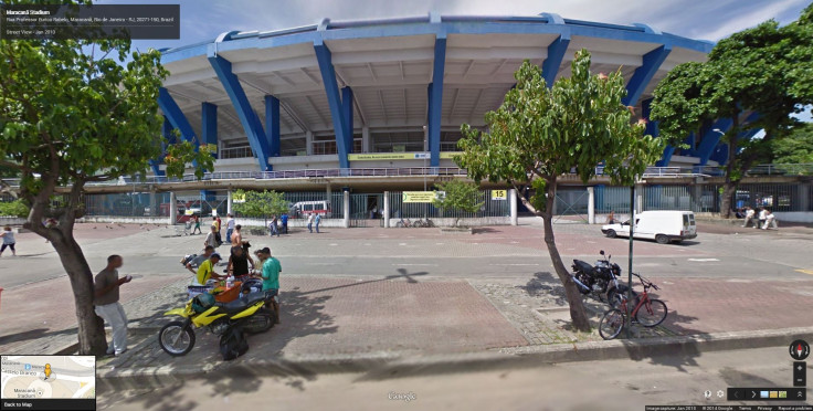
Google Inc. (NASDAQ:GOOGL) announced the addition of “Street View” imagery of soccer stadiums in Brazil, one week before the kickoff of the 2014 FIFA World Cup. All 12 World Cup stadiums have been added to Google Maps, as well as a number of notable sites throughout the host country for the premiere international football tournament.
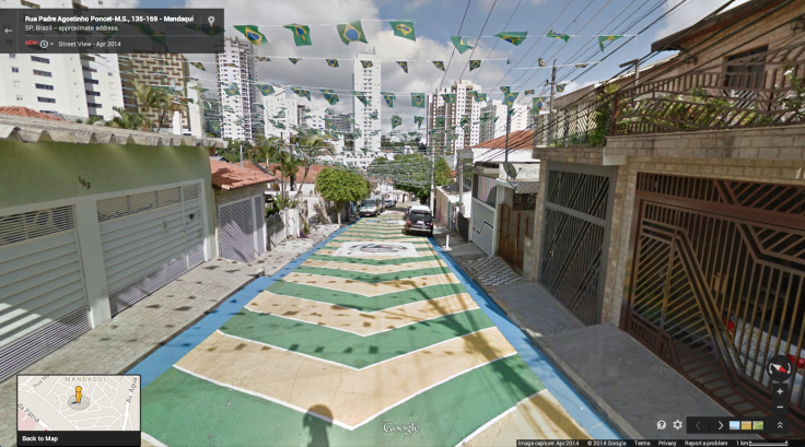
Google Maps offers a tour of the stadiums to give remote fans a feel for what it's like to be there. Users can explore the historic Estadio Mineirao and redesigned Estadio Nacional de Brasilia, inside and out. Google said that St. Michael of the Missions and Iguaçu National Park were two of hundreds of “interesting sites across Brazil” that it was adding to Street View Maps. The company also added ground-level imagery of other Latin American countries, including Chile, Colombia, Mexico and Peru.

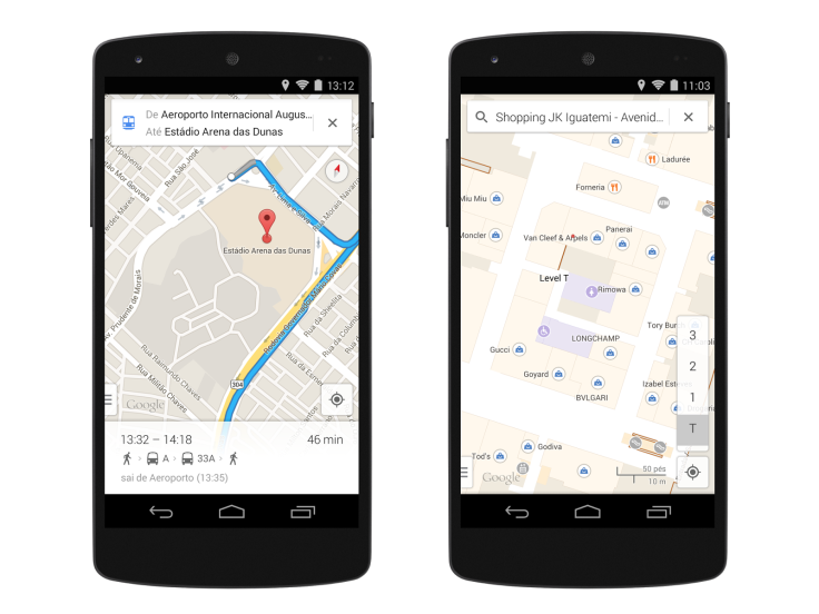
For football (aka soccer) fans traveling to Brazil for the World Cup, Google Maps has been updated with transit directions for all 12 host cities, as well as indoor maps of airports, malls and the stadiums. Google Maps is one of the company’s most popularly used products outside of its main search engine and Android mobile operating system. The company often adds Street View imagery to stadiums hosting major sporting events like the Olympics or the Super Bowl.
Google recently announced that it had added public transit directions for more than 15,000 cities and towns worldwide to Maps. Street View now offers “digital time capsules” of notable sites like Freedom Tower in New York, where users can view images before and after its construction on Google Maps for desktop computers.

Brazil will face off against Croatia for the first match of the 2014 World Cup, in the newly built Arena de Sao Paulo on Thursday, June 12. Brazil, along with Argentina, Germany and Spain, are favored among teams from 32 countries.
© Copyright IBTimes 2024. All rights reserved.


