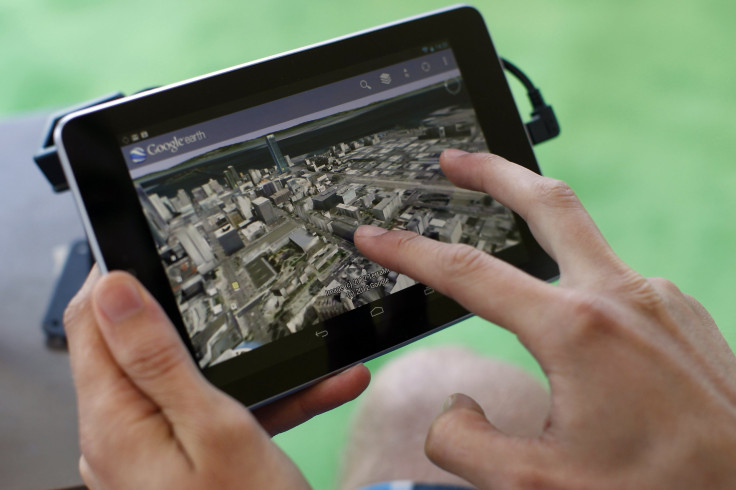
Google Maps, Other Online Map Apps Can Quadruple Zoom Capabilities With Launch Of WorldView-3

A satellite to be launched Wednesday will help Google Inc (NASDAQ:GOOGL) and other websites to improve the clarity of images on their map-based applications, allowing users to view Earth-based images at angles of zoom four times greater than before. The photographs taken by U.S.-based company DigitalGlobe Inc (NYSE:DGI), one of the world’s largest sellers of satellite imagery, will be sold to online mapping services, NASA and the U.S. government.
Legal restrictions imposed by the U.S government on how detailed commercial satellite photography could be expired in June this year. Now, companies like DigitalGlobe, who were previously restricted to capturing up to 50 centimeters-square of ground space per pixel can now go as low as 25 centimeters-square, increasing the pixel clarity of an image by four times, a report by the Telegraph said.
Worldview-3, DigitalGlobe's new satellite, which will be taken into orbit by a Lockheed Martin Corporation (NYSE:LMT) rocket will be armed with short-wave infrared sensors to pierce through cloud or smoke cover for clearer images. And, advanced electro-optical sensors and short-wave infrared equipment on the new satellite will reportedly help the company also identify tree species and the moisture content of soil.
The satellite's planned orbit -- at a height of about 383 miles above the Earth -- gives Worldview-3 a 31-centimeter pixel range, which can be enhanced to a 25-centimeter pixel range if it flies lower. Google, Microsoft Corporation (NASDAQ:MSFT) and other organizations will be able to buy the new images six months after the satellite's launch.
Even the U.S. military, which has its own satellites, and federal agencies such as the National Geospatial-Intelligence Agency and NASA, will rely on data from DigitalGlobe. WorldView-3, which has a mission life of a little over seven years, can last up to 20 years photographing about 422,500 square miles of the planet every day.
DigitalGlobe, which already has five satellites in orbit that are technically capable of capturing images of up to 41-centimeters of pixel range, estimates it could unlock another $400 million in sales of the higher-resolution images. The company is now lobbying with the U.S. government to relax the maximum rule to a 10-centimeter pixel range.
"It means we'll be able to solve new kinds of problems, and as a result, grow our business," CEO Jeffrey Tarr reported told Reuters in June.
Google also has plans of entering the high-resolution satellite-imaging market and had, in June, announced an agreement to purchase Skybox Imagine for $550 million. Previously, Google had launched two of its satellites through Russian rockets, and the company has announced a plan to increase its network of satellites to 24.
© Copyright IBTimes 2024. All rights reserved.


