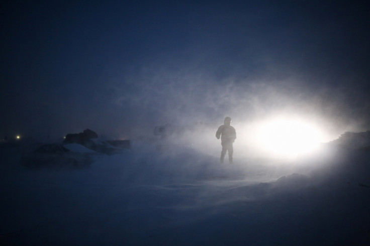
Great Plains Winter Storm Update: Snow Heading To New England After Dakotas?

Limiting drivers’ visibility on roads and creating dangerous conditions for travel around the holidays, blowing and drifting snow was a major issue Tuesday morning in the Great Plains, according to national and local reports. On Monday, snow, freezing rain and high winds continued from Sunday but appear to be calming, NPR reported Tuesday.
Still, the storm was expected to head east and reach New England, though how much it could affect the region was unknown.
Travel warnings were issued for most of North Dakota as many highways were closed in the Dakotas, while also causing power outages in Nebraska and western Iowa, the Associated Press reported.
One expert said movement around the region was unlikely until late Monday afternoon.
"Between the ice and snow, and winds howling like crazy, there will be nothing moving," National Weather Service meteorologist Greg Gust in Grand Forks, North Dakota told the AP. "Then it's dig-out time."
Officials hoped to limit any possible injuries or accidents in North Dakota with road closures. Some 240 miles along Interstate 94 and parts of U.S. Highways 2, 52 and 281 were closed to drivers on Sunday night and into Monday morning.
More than 12,000 customers of South Dakota Rural Electric Association lost power Monday morning, and high winds in central and eastern Nebraska resulted in power outages for hundreds.
More than 20,000 Grand Rapids, Michigan residents also saw their lights go out Monday night, between 7 p.m. and 8 p.m. local time, a Consumers Energy spokesperson told CBS News.
The National Weather Service said the same storm is moving east and the forecast calls for snow, sleet and freezing rain in sections of northern New England. But as it should also break up and head south, rain and thunderstorms could affect the Ohio Valley down to the Mississippi Valley and in the Southeast region on Tuesday.
© Copyright IBTimes 2024. All rights reserved.


