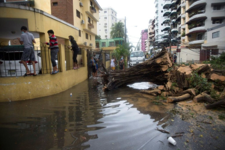
Heavy Rain, Storms, Strong Winds Ahead As Tropical Storms Marco And Laura Churn In Gulf Of Mexico
KEY POINTS
- Tropical Storm Marco is forecast to weaken while it skirts the coasts of Louisiana and Texas as the week goes on
- Tropical Storm Laura is forecast to strengthen to a category two hurricane and make landfall along the state border of Louisiana and Texas
- Storm warnings have been issued for Cuba, the Florida Keys, and communities along the Louisiana and Texas coastlines
After a weekend of churning in the Gulf of Mexico and Caribbean, respectively, Tropical Storms Marco and Laura continued their push northward Monday toward the southern U.S. However, it is a tale of two storms because while one weakens ahead of making landfall, the other is forecast to reach hurricane strength before battering coastal communities along the U.S. Gulf.
Tropical Storm Marco was located about 150 miles southeast of Louisiana moving northwest at around 10 mph with sustained winds averaging 60 mph.
“Gusty winds, dangerous storm surge, and heavy rainfall are expected from Marco along portions of the Gulf of Mexico beginning later today,” the National Hurricane Center reported Monday. “Interests in these areas should follow any advice given by local government officials.”
Marco’s current projected path has it skirting along the southern coast of Louisiana and eastern Texas while weakening to a tropical depression. Houston is along its current projected path and looks to be one of the last major metropolitan areas that will be hit by Marco before the storm begins to break apart on Wednesday.
Tropical Storm Laura presents the more pressing threat as it continues to churn off the coast of Cuba. As of Monday, it was moving west-northwest at around 20 mph with sustained winds averaging 65 mph.
“Tropical storm conditions are expected across much of Cuba today,” the NHC said. “Heavy rainfall is likely across Cuba and Jamaica today, and these rains could cause mudslides and life-threatening flash and urban flooding. Tropical storm conditions are expected in the Dry Tortugas, and the Middle and Lower Florida Keys later today.”
Laura’s projected path has it making brief landfall over the western end of Cuba before entering the Gulf of Mexico. It is forecast to strengthen to a category one hurricane by Tuesday as its path will begin shifting northward near Texas and Louisiana. Landfall is forecast for Thursday near eastern Texas and western Louisiana after it reaches category two strength.
“This could result in a prolonged period of hazardous weather for areas that are likely to be affected by Marco,” the NHC said.
Laura’s path will also begin to shift northeastward, but is forecast to start weakening almost immediately and drop to a tropical depression by the weekend.

© Copyright IBTimes 2024. All rights reserved.


