How Do You Find Hogwarts On Google Maps? Diagon Alley In ‘Harry Potter’ Debuts On Google Street View [PHOTOS]
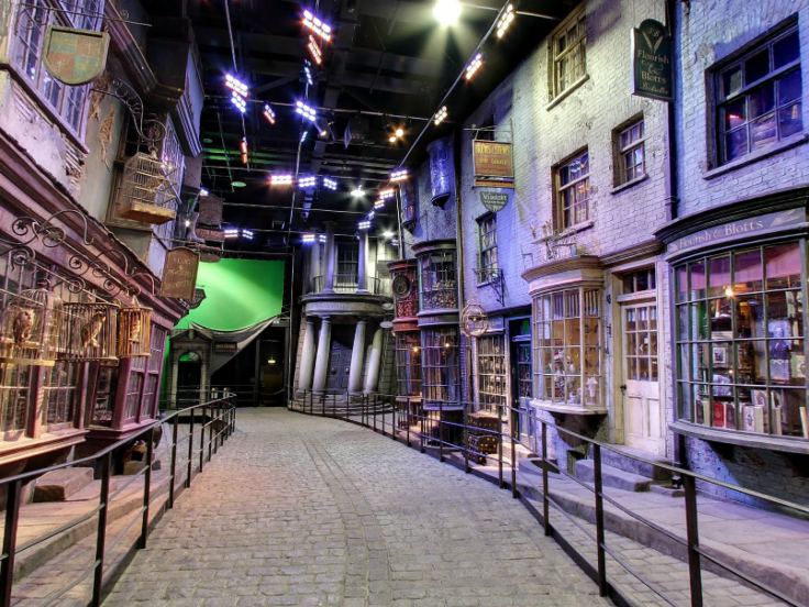
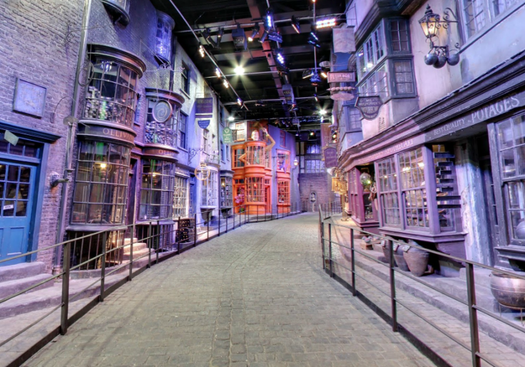
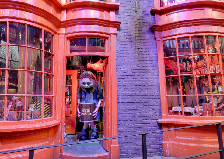
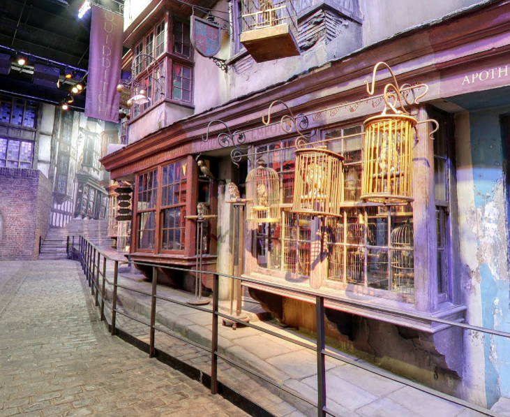
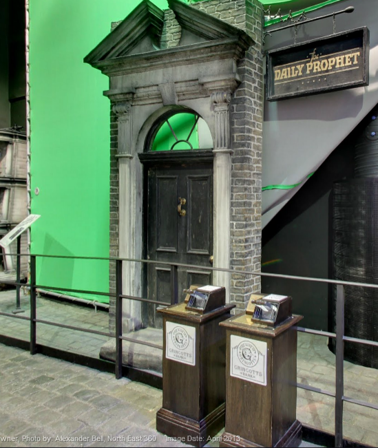
A location known to be unplottable by muggles is now available for the world to see. The famed Diagon Alley, a wizarding town from the popular “Harry Potter” book and film series, is viewable on Google maps for the first time.
According to a report from ABC News, the Google street view consists of photos taken from a section of the Warner Bros. Studio tour at Leavesden Studios in London. While fans of the seven-book saga are free to roam the fictionalized street on the U.K. tour, fans unable to attend are given the same up-close look at one of the films’ frequently featured sets online.
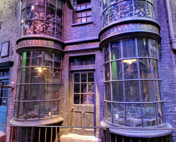
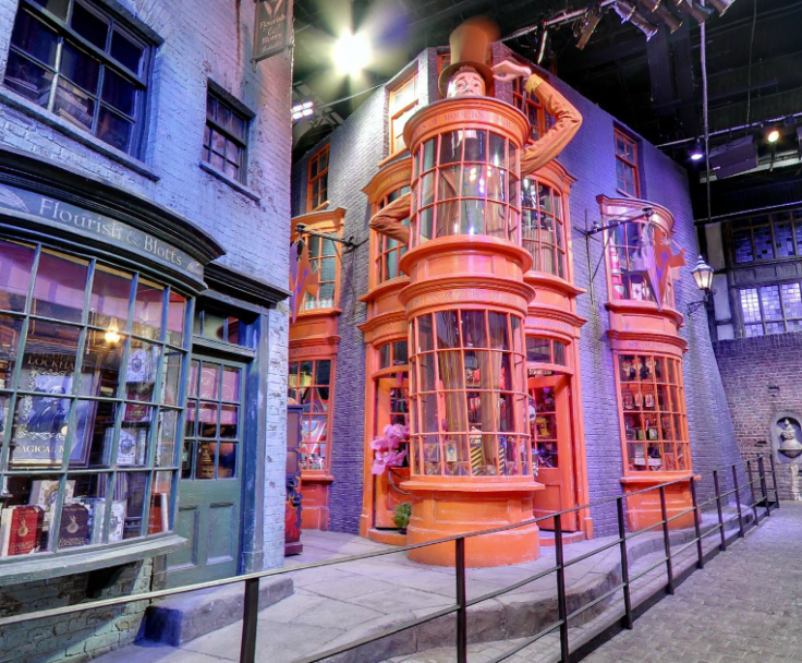
Some recognizable locations including Ollivanders, the shop where Harry Potter receives his first wand, as well as the Emporium where the boy wizard secures his first pet, a snowy old owl named Hedwig. Other notable locations include Fred and George Weasley’s joke shop, Weasleys’ Wizard Wheezes, and Flourish and Blotts book store.
View Diagon Alley on Google maps here.
The inclusion of Diagon Alley on Google maps comes just two months after the announcement that Diagon Alley will also be joining a section of Universal Studios Florida’s popular Wizarding World of Harry Potter theme park. The park will reportedly include similar shops and restaurants displayed in the films as well as a ride based on the wizarding bank Gringotts.
“I’m so pleased that the Wizarding World of Harry Potter has proved so popular to date,” the series’ author J.K. Rowling said in a statement. “I’m sure that the attention to detail in the new Diagon Alley area will make this an even better experience.”
© Copyright IBTimes 2024. All rights reserved.


