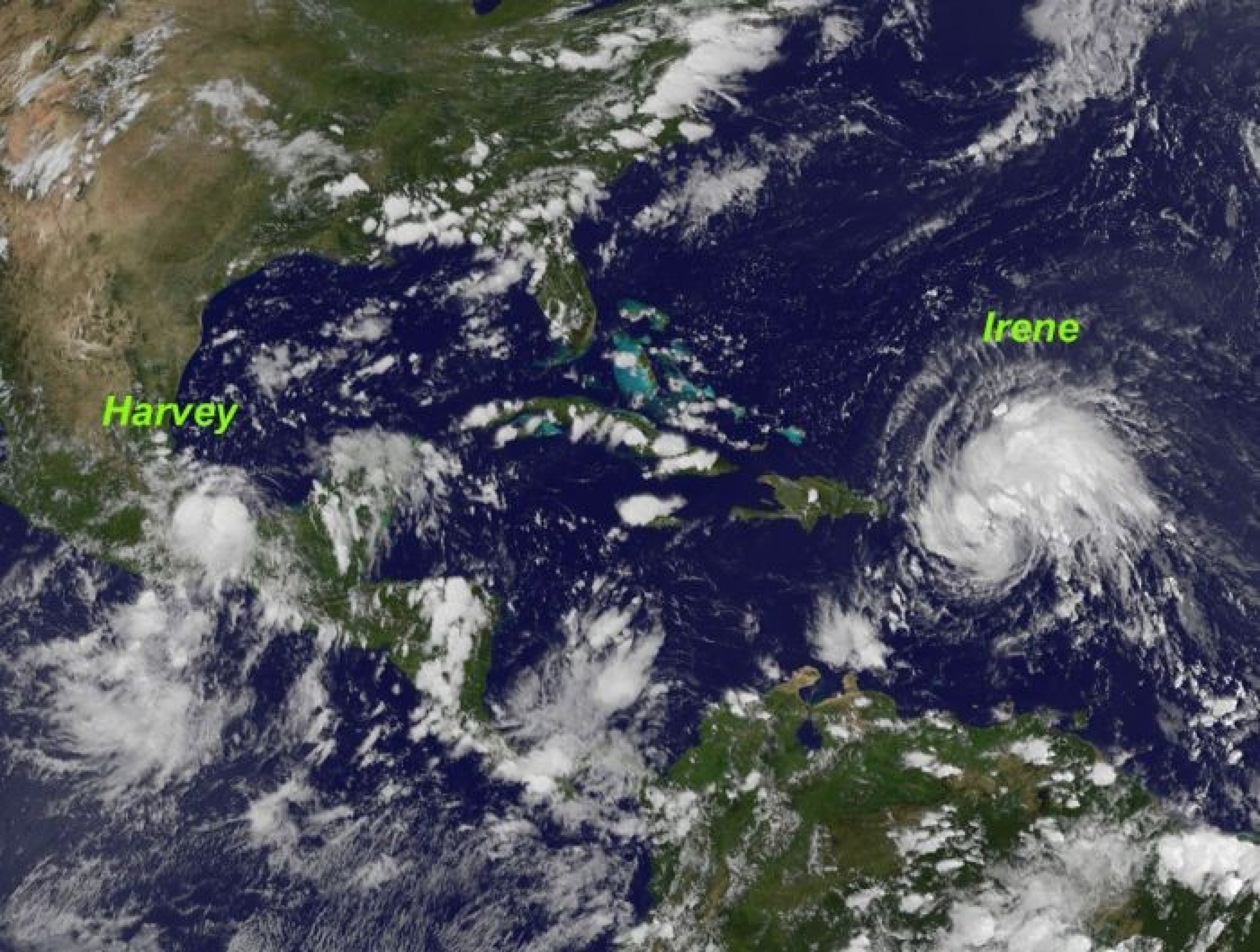
Hurricane Irene: Emergency Rescue Shelter Locations, Updates and Preparation Centers (MAPS, NASA IMAGES)
A state of emergency has been declared in six states toward the U.S. East Coast after Hurricane Irene caused havoc in the low-lying area of the Bahamas.
The states included in the emergency zone are New York, New Jersey, North Carolina, Virginia, Delaware and Maryland.
To prepare for the arrival of the hurricane, the White House blog has asked business owners from Georgia to New England to take necessary steps to ensure that their disaster preparedness plans are up-to-date.
As the storm continues to strengthen, President Barack Obama signed an emergency declaration for Puerto Rico and ordered federal aid to supplement commonwealth and local response efforts in the area.
The American Red Cross is mobilizing disaster workers and equipment, including mobile kitchens, along much of the Eastern Seaboard.
The Red Cross is moving volunteers, vehicles and supplies, getting ready for a response effort that spans nearly the entire East Coast. While we're getting ready at the Red Cross, we want everyone in the storm's path to get ready as well by getting a disaster kit, making a family emergency plan, and listening to local officials regarding evacuations, said Gail McGovern, president of the American Red Cross.
Dozens of shelters are being prepared all along the East Coast. To find out the nearest emergency Red Cross shelters, people can view an interactive Google map at www.redcross.org or download the free Red Cross shelter app for their iPhone from the iTunes store.
Another organization offering complete advice on how to prepare for this historic storm is Ready America. Additional resource and information can also be availed from the Federal Emergency Management Agency (fema.gov), the US Environmental Protection Agency (epa.gov) and the NOAA Hurricane Center (nhc.noaa.gov).

© Copyright IBTimes 2024. All rights reserved.


