Indonesia Hikes Alert Level at Volcano

Indonesian government's volcanologists have raised the alert level for Mount Soputan in North Sulawesi from Level II to III.
"We have issued an alert status as of 3 p.m. local time on Sunday," said Sandy Manengkey, head of the Volcanology and Geology Disaster Mitigation Center monitoring post for Soputan.
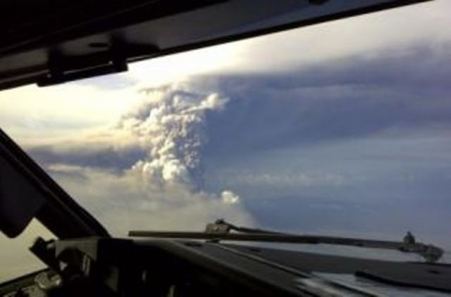
The PVMG has been recording high volcanic activity and increased tremors in the region since July. At 7:55 a.m. Sunday, an eruption with a column of gray-white smoke as high as 1,000 meters from the summit was recorded. A second eruption at 9:27 sent smoke about 1,250 meters high. This eruption continued until around 1:35 p.m., and a white column of gray smoke as high as 1,250 meters blowing westward was recorded.
Soputan, a strato-volcano on the southern rim of the Quaternary Tondano caldera on the northern arm of the island, is one of Sulawesi's most active volcanoes. Barren of vegetation, it rises to 1,784 meters and is stands southwest of the Sempu volcano, the PVMG says .
An exclusion zone to protect local residents has been established and "the safe radius zone for the volcano is 6 kilometers from the crater. [Lava] is still far from people's residences," Sandy said, according to a report by the Jakarta Post.
The population under threat by an eruption in Soputan is relatively small. The closest settlement 8 km from the summit, but there is a campground on the northeastern slope about 3 to 4 km from the summit.
Soputan has seen several instances of lava flows, hot clouds and lava dome growth in the past.
© Copyright IBTimes 2024. All rights reserved.


