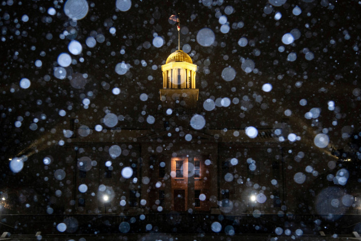
Massive Winter Storm Threatens Holiday Travel For Millions Of Americans

A massive winter storm system enveloped a vast stretch of the United States on Thursday, threatening to upend the travel plans of millions of Americans ahead of what could turn out to be one of the coldest Christmas days on record in many cities.
Leading into the holiday weekend, the system is expected to bring blizzard conditions to the Great Lakes region, up to 2 inches of rain followed by a flash freeze on the East Coast, wind gusts of 60 miles (100 km) per hour and bitter cold as far south as the Mexican border.
As the storm moves over the Great Lakes, a weather phenomenon known as a bomb cyclone is expected to develop due to "the abrupt deepening of this low pressure system," the National Weather Service said. In its wake, the cyclone could spawn snowfalls of a half inch an hour and winds of more than 50 mph (80 kph) in the Upper Midwest and interior Northeast, the weather service said.
"This will lead to dangerous, to at times impossible, land and air travel leading up to the holiday weekend," the agency said on its website. Tree damage and power outages seemed likely as well, it said.
More than half of the Lower 48 states, from Washington state to Florida, are under winter weather alerts, including wind chill advisories affecting about 135 million people, said Ashton Robinson Cook, a meteorologist at the weather service's Weather Prediction Center.
Travel conditions, already bad in the Great Plains region, will gradually deteriorate in the Midwest and Great Lakes area as the cold front moves east and brings more than a foot of snow with it to some parts, he said.
Snow squalls -- a brief burst of moderate to heavy snow and strong wind -- are expected from Illinois to Indiana, and could produce whiteout conditions.
"I think when that happens, there'll be an impact for travel in areas to get the snow and also historical winds," Robinson Cook said.
The American Automobile Association (AAA) estimates 112.7 million people plan to travel 50 miles (80 km) or more from home between Dec. 23 and Jan. 2, an increase of 3.6 million people over last year and closing in on pre-pandemic numbers.
Nearly 2,000 U.S. flights scheduled for Thursday and Friday have been canceled, including more than 700 departures and arrivals at two major airports in Chicago, according to flight-tracking service FlightAware. Hundreds of flights have been canceled in Denver.
Many U.S. airlines have waived change fees and fare differences for passengers.
The frigid air mass that had already enveloped northern states was pushing south through central Oklahoma and northwestern Texas, where the mercury is expected to plunge to about 10 degrees Fahrenheit (-7 Celsius) on Thursday. Combined with wind gusts of up to 60 mph (100 kph), wind chills could go as low as minus 40F (minus 40 C).
Temperatures in parts of the Southern Plains and Southeast could stay below freezing -- 30-plus degrees less than normal -- for multiple days, the weather service predicted.
Greg Carbin, chief of forecast operations at the Weather Prediction Center, said that freezing or below-freezing temperatures are expected to bisect Florida from Pensacola through Orlando to Daytona Beach. Temperatures could register about 25 degrees below normal.
"That's pretty darn chilly for Florida," he said.
Motorists in the Ohio and Tennessee valleys were warned that wet roads could instantly freeze over due to a rapid drop in temperatures.
The weather service also warned of freezing rain in parts of Oregon and Washington in the Northwest, where the storm originated, late Thursday.
Georgia on Wednesday joined North Carolina and Kentucky in declaring states of emergency. Temperatures in north Georgia were forecast to hit 10F (minus 12 C) with subzero wind chills.
"We are expecting weather we haven't seen in a decade or more," Georgia Governor Brian Kemp said at a media briefing.
U.S. power and natural gas prices in the Midwest and West Coast soared to multiyear highs on Thursday.
Gas output was on track to drop about 4.7 billion cubic feet per day (bcfd) over the past three days to a preliminary seven-month low of 94.3 bcfd on Thursday due to frozen wells in Texas, Oklahoma, North Dakota, Pennsylvania and elsewhere.
That would be the biggest daily drop in output since the freeze of February 2021 when a winter storm cut gas supplies from Texas and forced the Texas electric grid operator to impose rolling power outages.
One billion cubic feet is enough gas to supply about 5 million U.S. homes for a day.
© Copyright Thomson Reuters 2024. All rights reserved.


