Mississippi Flooding Will Get Worse, May Hit 'Historic Flood Levels' By Monday

KEY POINTS
- Already groaning under historic flooding, the Pearl River will hit a historic height Monday not seen in 40 years
- It's expected to continue inflicting flood misery for most of this week
- The rains fueling the historic flooding continue unabated
Pummeled by unrelenting rains, the already swollen Pearl River in Mississippi is expected to crest Monday morning at a massive 37.5 feet to 38 feet -- the second highest level in recorded history -- according to the Mississippi Emergency Management Agency (MEMA). The record crest for the river is 43.28 feet set in 1979.
Mississippi Gov. Tate Reeves told residents of state capital Jackson to "get out while you can" and on Saturday declared a state of emergency due to the "historic" disaster. By historic, Reeves meant the river, which lies to the east of Jackson and runs close to the city's downtown, will break a record it set only last Saturday.
The flooded river, which has a meander length of 715 km, rushed past the prior record of 36.3 feet set by floods in 1902 and 1880 on Sunday to set a new record at 36.44 feet, according to the National Weather Service (NWS). This level will be eclipsed Monday as the NWS predicts non-stop rains from Sunday to Wednesday. NWS said reaching 38 feet will mean a "large number of homes are flooded in Northeast Jackson and water is in some buildings in downtown Jackson."
Weathermen estimate the rains will last for most of the week will also increase the duration of the flooding. The water buildup is unrelenting.
"We are not out of the woods yet," said Reeves. "We are seeing some positive news and positive results from last 24 hours but there is more water coming into the river and into downtown Jackson." He said thousands of people have been hit by the unprecedented flooding. An unknown number of houses are flooded.
MEMA reported details of flood damage across 11 counties. Its preliminary report includes more than 200 homes damaged. In addition, there are four injuries from vehicles hydroplaning in Grenada County and a levee breach in Leake County.
“The critical component is the amount of rainfall this week,” said Mike Word, Rankin County emergency management director. “We have rain coming in between Sunday and Wednesday. The water is coming. It’s just slower than they said. We don’t want the general public to lower their concern because this thing isn’t over yet.”
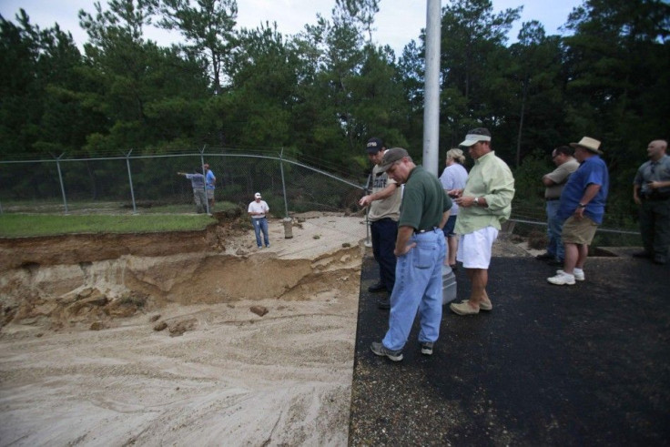
Water is being released from the Ross Barnett Reservoir between Madison and Rankin counties, which has reached its overflow capacity. MEMA director Greg Michel said the problem is, the water already out there below the reservoir has flowed out of the banks and is coming back into the river.
"So the water levels are still going to rise," said Michel. "We hope that it's going to be less than 38 feet, but we're still planning for 38 feet."
MEMA said if the river hits 38 feet, a large number of homes will be flooded by six feet of water. Roads will become impassable and residents won't be allowed to return home for days.
"We don't anticipate the situation to end any time soon," according to Reeves. "It will be days before we are out of the woods and the water starts to recede."
© Copyright IBTimes 2024. All rights reserved.


