

Multiple Winter Alerts In Alaska, 12 Inches Of Snow Possible In White Pass

KEY POINTS
- Wind gusts of up to 45 mph is expected in Thompson Pass
- Up to 11 inches of snow is expected in Klondike Highway Wednesday evening
- Isolated events of wind damage to some property is possible
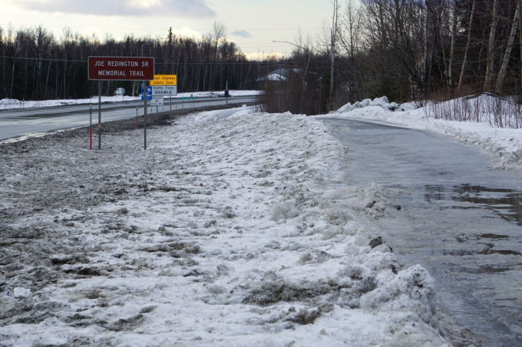
Winter weather advisories and warnings have been issued across parts of Alaska as officials predict high winds that could last through the weekend. Heavy snow is also expected in elevated areas, with snowfall possibly reaching up to four inches.
"A potent low pressure system is expected to cross the eastern Aleutians by Friday and Saturday, which will lead to high winds over the area through the weekend," the Weather Prediction Center (WPC) said in its Hazards Outlook report released Tuesday.
"Heavy snow" is possible "in the high terrain," the agency added.
A ⚠️Winter Weather Advisory⚠️ for blowing snow is in effect for Thompson Pass from 4am to 1pm Wednesday. Slow down and use extra caution while traveling. #akwx pic.twitter.com/0ErZ89v1gs
— NWS Anchorage (@NWSAnchorage) October 26, 2022
"Winds gusting up to 45 mph, and 2 to 4 inches of snow" are expected in the Thompson Pass area, the National Weather Service (NWS) in Anchorage tweeted Tuesday.
A High Wind Warning has been issued for the western Alaska Peninsula valid from 4 AM AKDT Wednesday through 4 PM AKDT Wednesday. For additional details please visit https://t.co/RLCzOj8hht. #AKWx pic.twitter.com/awG9xPVfSs
— NWS Anchorage (@NWSAnchorage) October 26, 2022
Wind gusts reaching 45 mph falls under the "High Wind" level designated by the NWS. High Wind conditions are described by the NWS as "a high threat to life and property." The agency also noted that it is possible to see isolated events of wind-related damage to pool enclosures, carports, awnings and porches during High Wind conditions.
High winds that may move loose debris and damage property or result in power outages, the office warned.
Winter Weather Advisory for the Haines Borough and Klukwan with 3-5" falling from 1 am to 10 am Wednesday Oct 26, 2022 with highest amounts near the border. Temps could remain warm enough to limit snow amounts near the town of Haines. Driving becoming difficult. #akwx @KHNS_FM pic.twitter.com/W1cNseVx7A
— NWS Juneau (@NWSJuneau) October 25, 2022
In the Haines Borough and Klukwan area, 3-5 inches of snow is expected through Wednesday morning, with the highest amounts of snowfall seen to hit bordering areas, the NWS in Juneau said.
Winter Storm Warning for the Klondike Highway above 1500 feet with 6-11 inches falling from 1 am to 10 pm Wednesday Oct 26, 2022. Driving becoming very difficult. #akwx @KHNS_FM pic.twitter.com/FPV8y6eqVA
— NWS Juneau (@NWSJuneau) October 25, 2022
In the Klondike Highway area, up to 11 inches of snowfall is expected Wednesday evening. Officials warned of difficulties when driving. Up to 4 inches of snowfall is expected in Skagway, while up to 12 inches of snow could fall in the White Pass area, NWS Juneau officials said.
Winter Storm Warning effective through 6 a.m. Wednesday:
Winter Storm Warning effective through 10 p.m. Wednesday:
- Municipality of Skagway – including Klondike Highway above 1,500 feet and White Pass area
Winter Weather Advisory effective through 10 a.m. Wednesday:
Winter Weather Advisories effective through 6 a.m. Wednesday:
Winter Weather Advisory effective through 1 p.m. Wednesday:
High Surf Advisory effective through 7 a.m. Wednesday:
- Kipnuk to Togiak – including Bristol Bay and Kuskokwim Delta
High Wind Warning effective through 4 p.m. Wednesday:
- Alaska Peninsula – including Cold Bay
Wind Advisories effective through 6 a.m. Wednesday:
- Deltana and Tanana Flats
- Denali
- Eastern Alaska Range – including North of Black Rapids
- Upper Kuskokwim Valley
© Copyright IBTimes 2024. All rights reserved.
- MOST POPULAR IN National


