NASA Captures Tropical Storm Lee's Path to New Orleans (IMAGES)
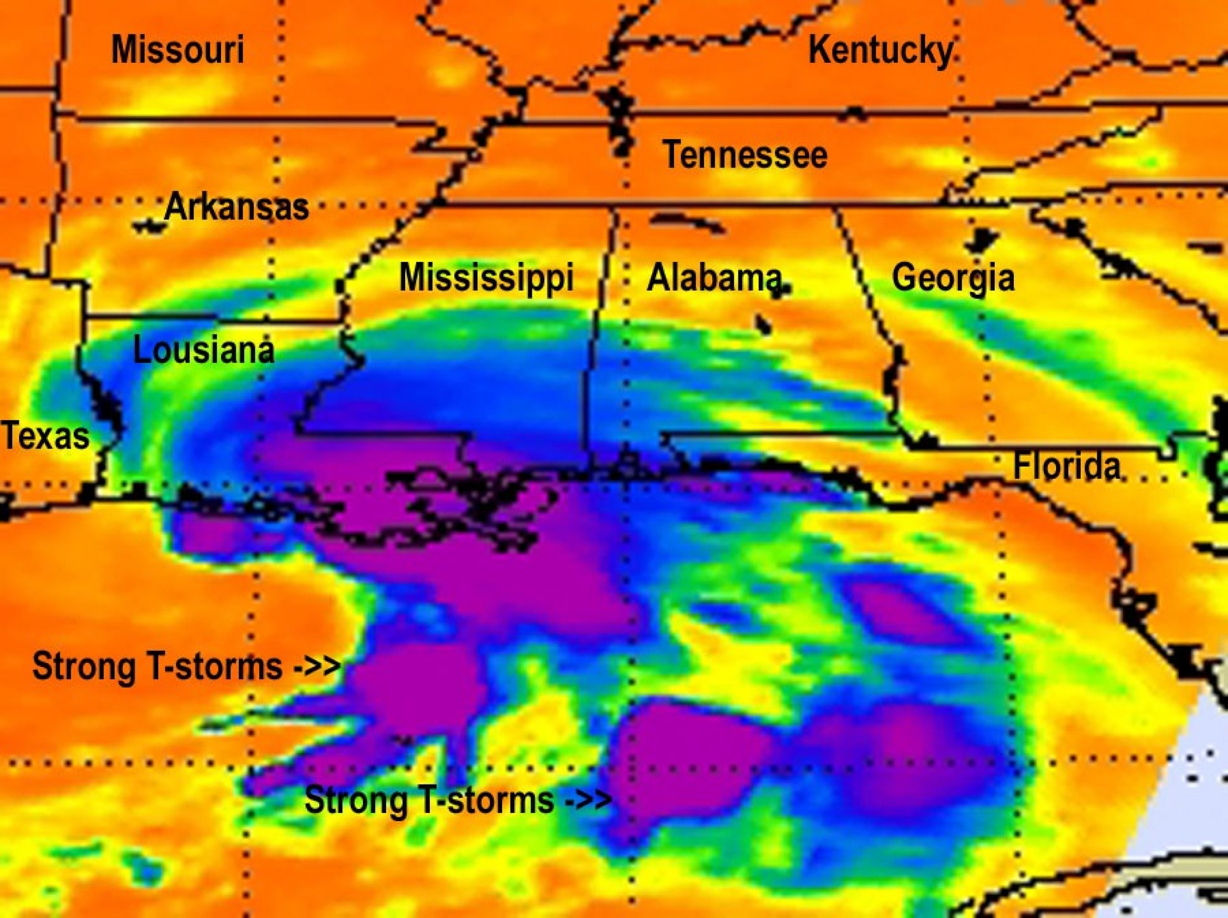
Tropical Storm Lee has begun to barrel down the Gulf Coast as people in Louisiana deal with what is being called an erratic storm.
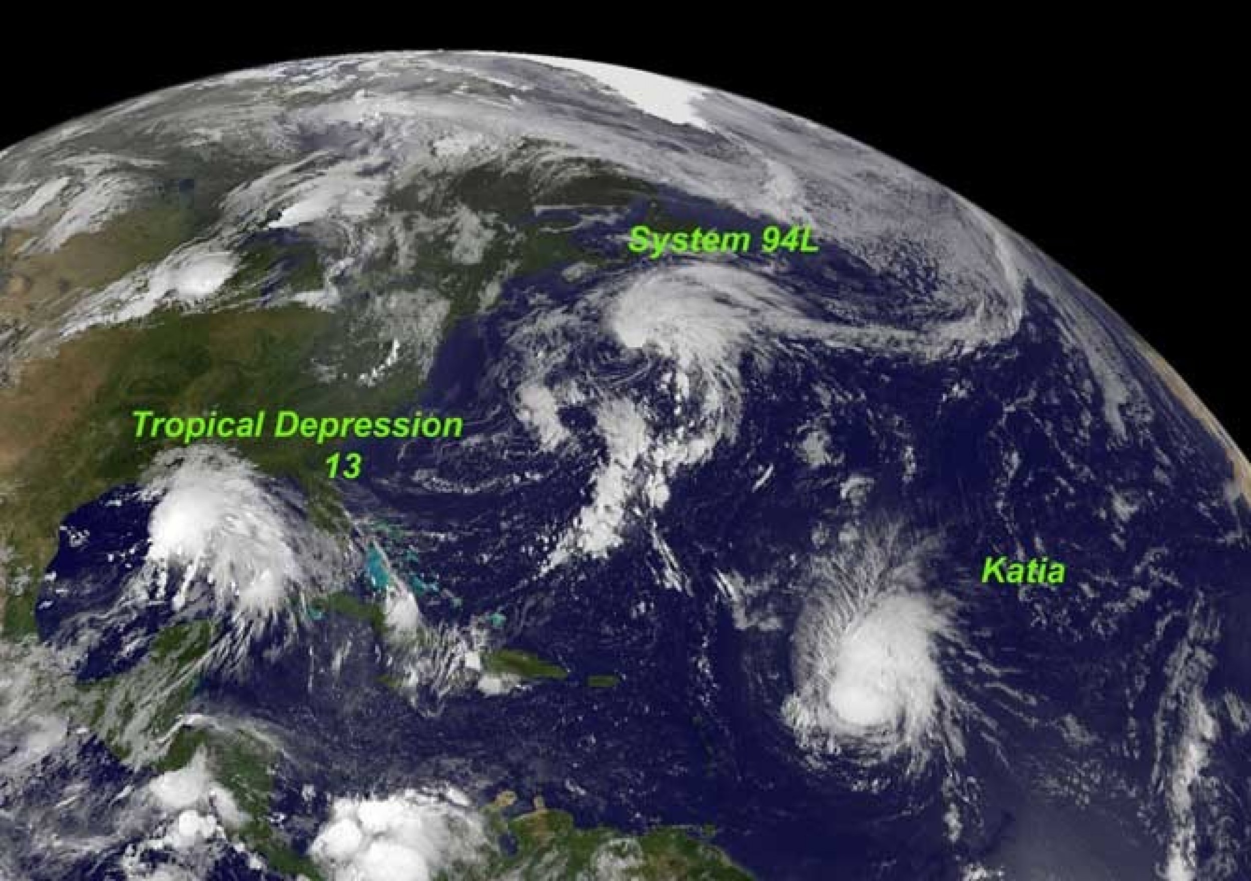
NASA and the National Oceanic and Atmospheric Administration (NOAA) are both providing satellite images of the storm from space. According to various reports, the storm has stalled and started up again. Dry air has caused the storm to stall. Currently, its center is sitting off the coast of Southern Louisiana and is expected to hit nightfall in the evening.
New Orleans officials issued flash flood and tornado warnings for various areas around the city before the storm even hit the coast. Even though it is stalled, the north part of the storm have already dumped heavy rains into parts of the city and there have been reports of various streets flooded. In terms of tropical storm warnings, because of the slow moving Lee, they won't be into effect until Monday night.
However, the slow-moving storm will dump lots of rain onto these areas in the Southeast. Along with central and southern Louisiana, there are flood warnings for portions of inland southeast Mississippi, southwest Alabama and the western Florida Panhandle.
According to the NOAA, 10 to 15 inches of rain are possible with isolated totals to 20 inches, especially south of Lake Pontchartrain and along the Mississippi coast. The storm will have maximum winds of 60 mph (95 kmh).
Meanwhile, hurricane researchers and meteorologists are keeping their eyes on Hurricane Katia, which is making her way through the South Atlantic. That storm's project path according to this Google app, is still unclear, but it could definitely make its way to the East Coast.


© Copyright IBTimes 2024. All rights reserved.


