[PHOTOS] How NYC Embraces Hurricane Irene Weekend
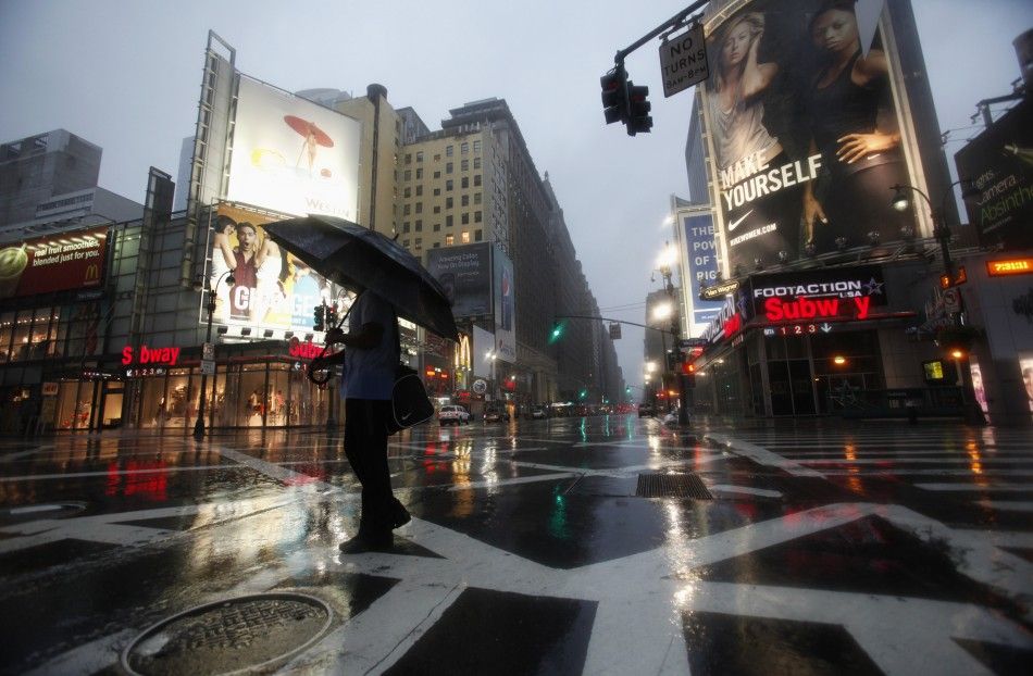
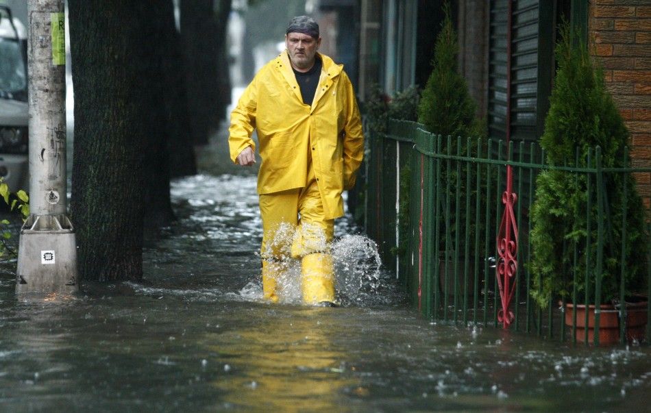
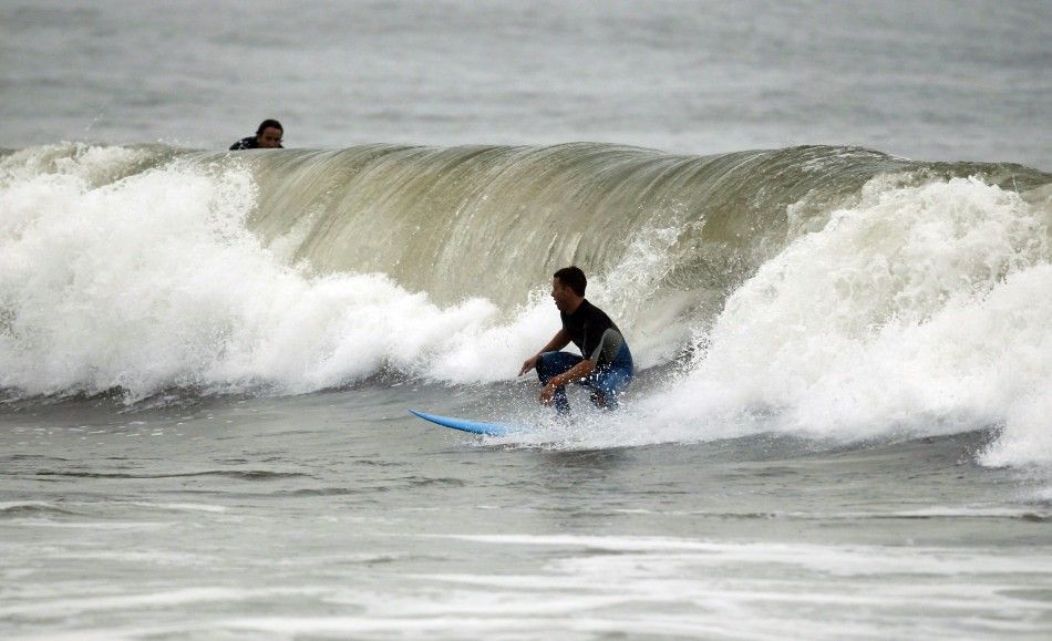
New York City on Sunday morning sees Hurricane Irene weakening to tropical storm, as its menace battered the U.S. mid-Atlantic coast.
According to the National Hurricane Center, Irene's winds dropped to 65 mph/100 kmh by 9 a.m.
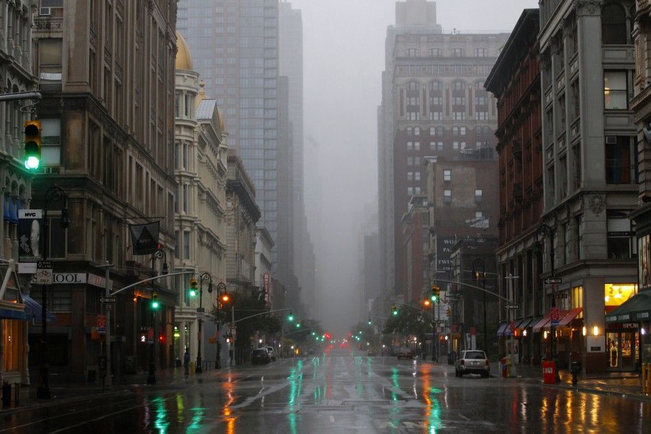
New York City, famous as a city that never sleeps, was nearly deserted on Saturday, as Mayor Michael Bloomberg ordered an unprecedented evacuation for the low-lying coastal areas. The city's transit system, including subways and buses, was shut down from Saturday noon until further notice.
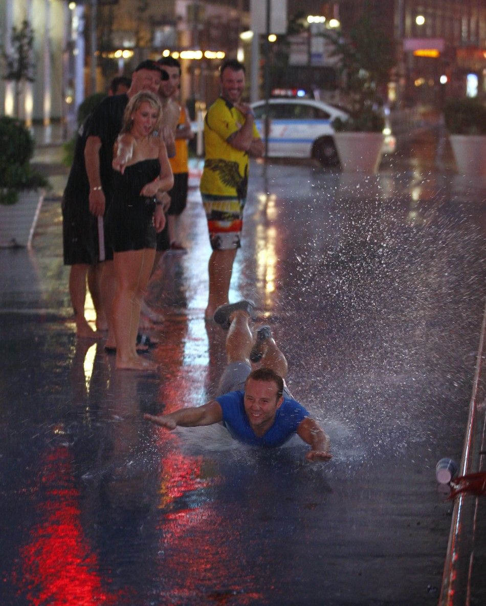
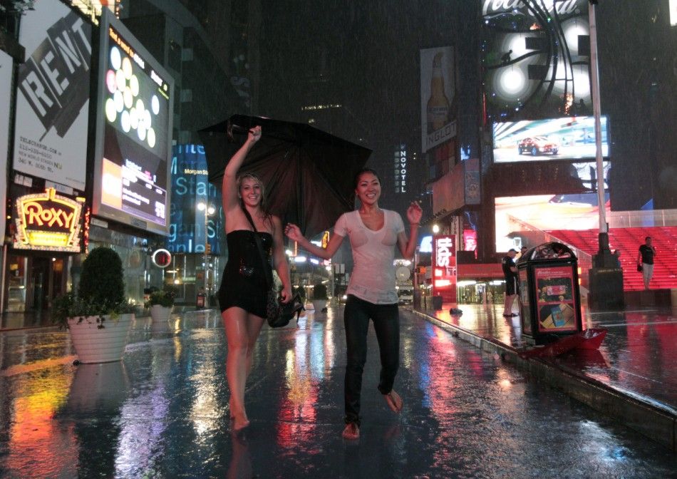
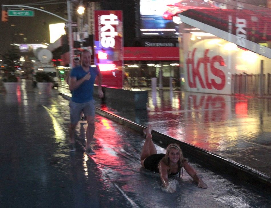
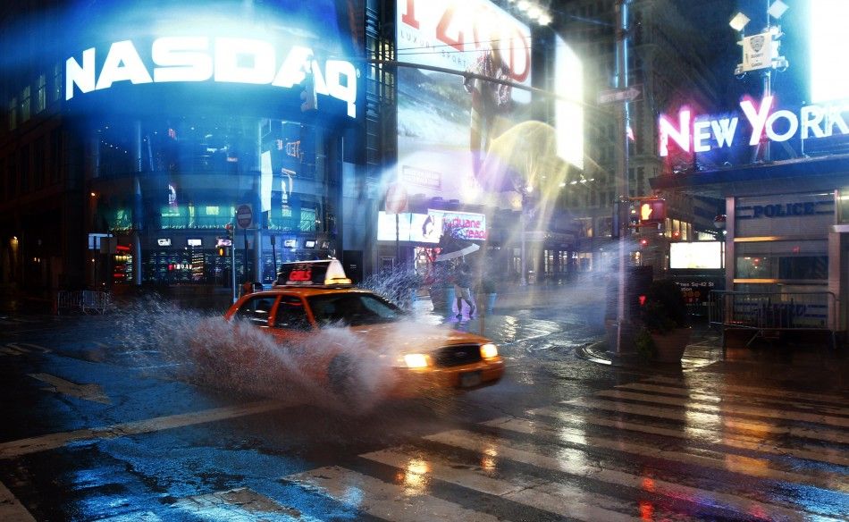
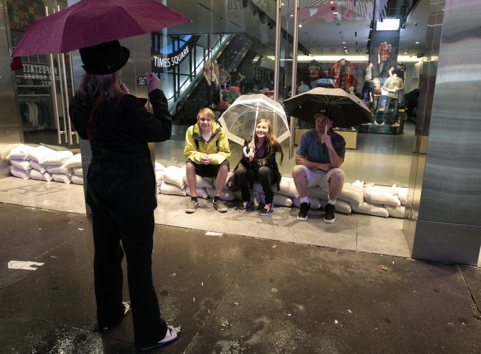
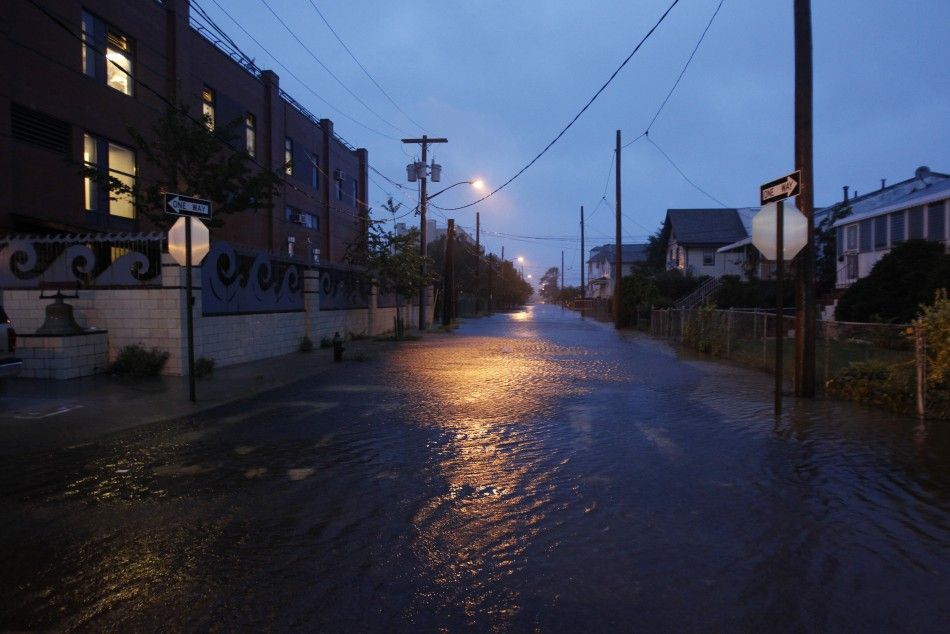
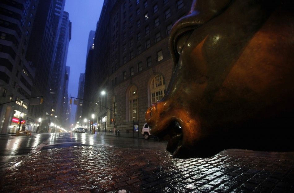
Click [START] to begin the slideshow, and see what Irene has done for New York City, and entertained some.
Irene isn't expected to completely pass New York until mid-day, and already early Sunday morning a tornado warning has been issued, while Bloomberg gave one last appeal to locals to resist the urge to go outside. Rather, he said they should safely let the storm pass.
At daybreak there are no signs of massive flooding in the city in low-lying areas officials were warned about, but some power is out and Irene is not done yet. High tide is at 8 a.m., and that is expected to be the moment lower Manhattan can cross the point of knowing whether it will face storm surge flooding or not. But just before 8, it isn't appearing likely that lower Manhattan will experience mass flooding.
Between 4 a.m. and 5 a.m., New York area residents experienced the strongest wind gusts, as trees bent, debris flew, windows rattled and some buildings shook in wind gusts for 40 and up to 50 miles per hour. The gusts were accompanied by a driving rain, which still hasn't let up.
Forecasters say Irene is expected to make landfall on Long Island Sunday as a Category 1 storm just before 9 a.m. The storm's hurricane force winds don't extend far beyond Irene's core, so the threat of wind damage will diminish as the morning progresses in the immediate New York area.
© Copyright IBTimes 2024. All rights reserved.


