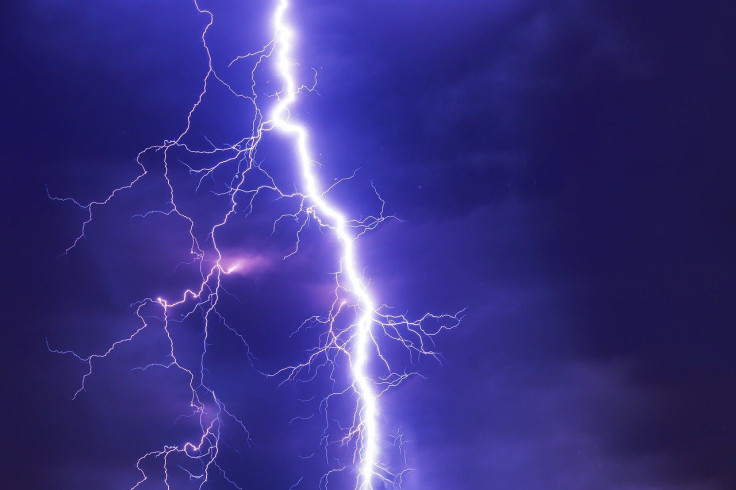
Severe Weather Forecast For US Northeast, Mid-Atlantic Brings Strong Winds, Hail, Potential Flooding
KEY POINTS
- Severe weather is forecast to hammer the U.S. Northeast and Mid-Atlantic for the rest of the week
- Strong winds and heavy rain are considered the biggest threat, though hail is forecast for some areas
- The front will settle over the Northeast as the week goes on and continues to hammer the region going into the weekend
As Hurricane Laura churns in the Gulf of Mexico, a wave of severe weather is set to hit the Northeast and Mid-Atlantic regions of the United States. This will include scattered, severe thunderstorms with strong winds from Tuesday into Wednesday.
“The greatest severe-thunderstorm threat today appears to be for damaging thunderstorm winds over portions of the Mid-Atlantic,” the National Weather Service said.
The burst of severe weather is due to a cold front rolling through the area amid a short burst in heat and humidity across most the Northeast. This mixture makes it ideal for sudden storm formations to hit, with strong winds being the biggest concern. Winds are expected to be strong enough for tornadoes, though they would be considered isolated.
“Gusts as high as 75 mph can occur with the strongest storms,” AccuWeather meteorologist Mary Gilbert said.
While damaging winds are a major concern, the most common is heavy rainfall from the storms. Rain in some areas is expected to be heavy enough for flash or urban flooding along valley and river communities across the region. Scattered hail is also expected to hit parts of the region.
The most severe weather is forecast to hit between Maine and eastern parts of the Ohio River Valley overnight Tuesday. It will continue into Wednesday, with the Mid-Atlantic and Great Lakes regions bearing the brunt of the storms.
This will extend into the Northeast as storms are forecast to continue before a short reprieve on Wednesday. However, the front is expected to become concentrated in the Northeast by Thursday and continue until Friday.

© Copyright IBTimes 2024. All rights reserved.


