Terrifying Video Shows How Much Of Earth Was On Fire In 2019 [WATCH]

KEY POINTS
- A video provides a visual representation of the areas hit by wildfires in 2019
- Data used in the video include the Kincade Fires and Australia Bushfires
- The creators of the video admit that wildfire conditions are becoming worse
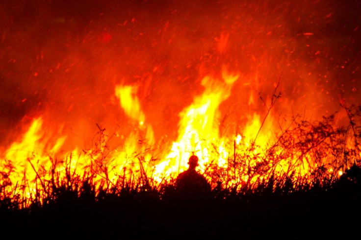
Using satellite data, a scientific organization released a video showing parts of the world that have been ravaged by fires throughout the year. The video highlights the worsening condition of wildfires around the world.
The video was made and released as part of a program dubbed as the Copernicus Atmosphere Monitoring Service (CAMS) organized by the European Center for Medium-Range Weather Forecasts. It was made using data collected by satellites throughout 2019.
For a little over 90 seconds, the video provided a visual representation of the various parts of Earth ravaged by wildfires for a span of 12 months. According to Mark Parrington, the senior scientist for CAMS, he and his colleagues were surprised by the wildfire activity they recorded this year.
“It has been an extremely busy year for CAMS regarding the monitoring of wildfires,” he said in a statement. “Throughout the year we have been closely watching the intensity of the fires and the smoke they emit all around the world and have experienced at times some quite exceptional fire activity.”
“Even in places where we would expect to see fires at certain points of the year some of the activity has been surprising,” Parrington continued.
Some of the wildfires shown in the video include the Kincade Fire in Sonoma County, California, which burned down almost 80,000 acres of land. It also includes the wildfires in Indonesia, which were the most intense incidents ever recorded in almost two decades. According to CAMS, these wildfires emitted over 708 megatons of carbon dioxide.
Probably the most recent incidents shown in the video are the bushfires ravaging parts of Australia. CAMS noted that the smoke generated by the fires crossed over the South Pacific Ocean and reached South America.
Surprisingly, CAMS was also able to detect wildfires in the Arctic Circle, scientists working with the project reported seeing 100 wildfires in the region this year. According to Parrington, these unusual events signify that wildfires are already worsening.
“Although fire activity overall has been fairly average in the global sense for 2019, compared to previous years, there have been several instances of unusual intense activity in certain regions, including places with regular fire seasons, which has been devastating,” he said.
© Copyright IBTimes 2024. All rights reserved.


