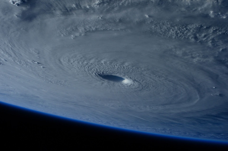
Tropical Storm Arthur: First Storm Of 2020 Draws Closer To North Carolina Coast
Tropical storm Arthur inched closer to North Carolina coast Sunday evening after it was formed in the Atlantic Ocean. Experts warned of potential minor flooding and rough seas as the hurricane navigates through the Southeast seaboard.
Arthur came well ahead of the official start of the Atlantic hurricane season and was named the first storm of the year. The U.S. National Hurricane Center in Miami issued a tropical storm warning for Surf City to Duck, an area located in the outer banks of North Carolina, including Pamlico and Albemarle Sounds, Sunday at 8:00 p.m. (EST), emphasizing that the storm can batter the barrier islands anytime within the next 24 hours.
Arthur, with top, sustained winds of 45 mph, originated from about 260 miles south-southwest of Cape Hatteras and was approaching north-northeast at 9 mph speed, the department said in its advisory.
"A turn toward the northeast with an increase in forward speed is forecast to occur later tonight or on Monday," according to the release. "A turn toward the east is expected on Tuesday."
Arthur would swirl far offshore of Florida, Georgia, and South Carolina before making it to North Carolina, which is likely to experience 1 to 3 inches of rain Monday. The storm was forecast by the department to leave the U.S. somewhere between Monday and Tuesday.
The 2020 Atlantic hurricane season was set to span June 1 to November 30, in the areas of Atlantic Ocean, the Gulf of Mexico, and the Caribbean Sea. The possible rate of property damage is forecast based on the intensity of sustained winds on the Saffir-Simpson Hurricane Winds Scale, according to CNN. The department, however, advised preparedness as 3 or higher on the scale of 1-5 is considered major hurricane.
CBS News cited Michael Lee, a meteorologist with the National Weather Service in Newport, North Carolina, predicting raging winds along the coasts, particularly in the outer banks. "Otherwise, it's going to be some heavy rainfall for a large part of eastern North Carolina," Lee said. "But the main threat that we're really trying to get out there is that there is enhanced risk for dangerous rip currents both today and tomorrow. So, any folks who want to try to go to the beach and get in the water, we have a high risk out for most of our beaches."

© Copyright IBTimes 2024. All rights reserved.


