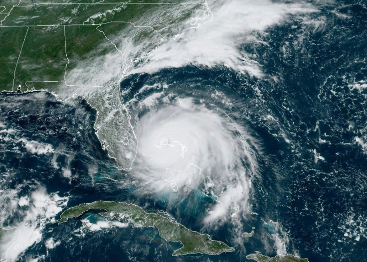
Tropical Storm Fernand Update: Storms Makes Landfall Along Mexican Coast, As Gabrielle Forms In Eastern Atlantic

Tropical Storm Fernand continues its trek towards Mexico after forming Tuesday in the Gulf of Mexico.
The National Hurricane Center has been tracking Fernand as it began to hit the eastern coast of Mexico since forming over the weekend. As of Wednesday afternoon, the heart of the storm had begun making landfall near La Pesca, Mexico, bringing with it 40 mph sustained winds and rainfall that could reach 18 inches in some areas.
Flash flood warnings have been issued along the Mexican coast while some areas have been warned of potential mudslides from the rain. Tropical storm warnings are also in effect from Puerto Altamira to the mouth of the Rio Grande River while Southern Texas is monitoring for tornadoes because of Fernand.
Fernand is expected to push farther inland, with the storm’s eye being over land by Wednesday evening. It will continue to push inward toward Northeastern Mexico by Thursday morning, though it’s also expected to weaken down to a tropical disturbance by then.
Fernand isn’t the only storm front the NHC has been tracking. Tropical Storm Gabrielle has formed in the eastern Atlantic Ocean, forming quickly since Monday due to open water. It’s currently being tracked moving northwest though it currently doesn’t pose a threat to any mainland regions.
Another tropical disturbance has begun to form in the western Atlantic, closer to the Mid-Atlantic region of the U.S. It is not expected to form into a tropical storm, though the NHC is monitoring should conditions change.
© Copyright IBTimes 2024. All rights reserved.


