USGS Reveals How Scientists Monitor Yellowstone’s Thermal Activity

KEY POINTS
- The Yellowstone supervolcano's last major eruption was 630,000 years ago
- The USGS monitors Yellowstone's status by studying its thermal activities
- USGS scientists use photographs to study geysers from a safe distance
The U.S. Geological Survey (USGS) explained how its researchers collect valuable data on Yellowstone National Park’s volcanic and thermal activities. As mentioned by the agency, monitoring these factors can be very dangerous due to their unpredictable nature.
The Yellowstone National Park, which extends into parts of Wyoming, Montana and Idaho, is home to a massive supervolcano known as the Yellowstone Caldera. It was formed by three major eruptions that occurred over the past 2.1 million years. Since the last eruption occurred 630,000 years ago, many scientists believe that the Yellowstone supervolcano is already due for another explosive outburst.
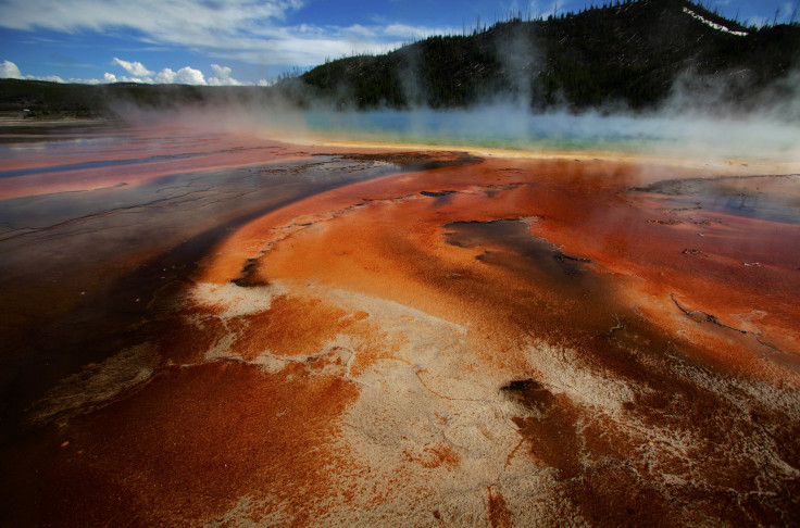
To keep track of the caldera’s conditions, the USGS monitors its surroundings regularly. One of the factors that the agency closely monitors is Yellowstone’s thermal features, which appear in the form of mud pots and geysers.
Approaching these features can be dangerous due to their unpredictable nature, the USGS said.
“Walking up to an active geyser is very dangerous given the unstable ground and often unpredictable eruptions of thermal waters—people who approach or walk on thermal features have been severely injured and even killed,” the USGS stated.
To properly monitor geysers, USGS scientists rely on photography to study their features from a safe distance. They use a method known as structure-from-motion photogrammetry, which involves measuring the exact sizes of objects through photographs. This is carried out by using a Global Positioning System to map out the surroundings of the subject in order to provide a scale for its size.
By using photogrammetry, the USGS scientists are able to create 3D computer models of geysers. Through these 3D models, they can study various features of the geysers. They can also compare the images to newer 3D models to identify changes within the geyser.
Through their collected data on the thermal features, the scientists are able to gauge Yellowstone’s current status.
“The collection of these data is simply a first step—there are many more geysers in Yellowstone to image,” the USGS stated. “Repeat data will also be collected to assess how these features change over time, providing a view of geyser development that before was only possible in a gross sense using historical photographs.”
© Copyright IBTimes 2025. All rights reserved.


