Delhi Earthquake a Long Time Coming

A medium strength earthquake shook Delhi, India Wednesday night, sending people running out of highrises, but luckily caused only minor damage.
The 11:30 p.m. quake followed a bomb blast earlier in the day that killed 11 and injured dozens more outside the Delhi High Court.
After initial reports put the tremor as high as magnitude 6.6 on the Richter scale, the Indian Meteorological Department confirmed that the quake reached a magnitude of 4.2, significant, but about 100 times less severe than originally thought.
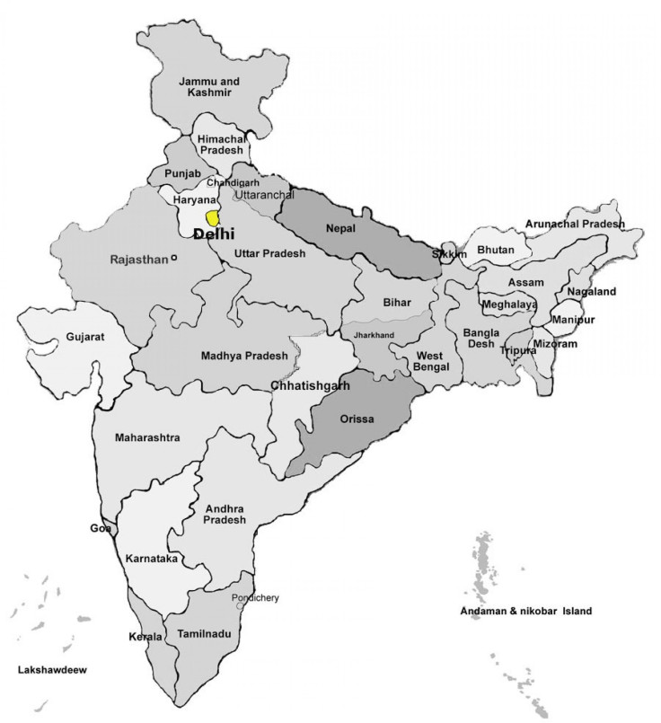
Delhi is considered to be in Zone 4 of the Earthquake Hazard Map of India, and is therefore designated as being in the High Damage Risk Zone. There hasn't been a significant earthquake in the city's recent history, although it has experienced minor vibrations from quakes elsewhere in the country and in Pakistan.
Interestingly, The Hindustan Times reported earlier on Wednesday that Delhi is among thirty important cities in the country that fall into high risk seismic zone.
Before the quake, India's Minister of State for Home Affairs Mullappally Ramachandran gave a report on the areas most prone to potential tremors, listing Srinagar as the city with the highest risk. More than 50 percent of India is listed in Zone 5, meaning that those areas lie in the Very High Damage Risk Zone.
The deadliest Indian earthquake in recent years occurred in 2001 in Gujarat. More than 20,000 people were killed and almost 10 times as many were injured. Around 20 people died in Pakistan, which is about 600 miles away. The quake had a 7.7 magnitude.
There have been a number of earthquakes around the globe in recent weeks. Preceding the Delhi event by a day was a 6.6 magnitude quake on the Indonesia island of Sumatra, in the Indian Ocean.
Two people were killed near the capital of Medan, one a 12-year-old boy lying in bed was crushed by falling debris. The other was a man who died of a heart attack as he fled his home.
The earthquake hit around 1 a.m. local time on the western island, its epicenter about 60 miles southwest of Medan. If it had been closer to the Indian Ocean, a tsunami would have been likely, according to the U.S. Geological Survey.
Many Indonesians still remember the December 2004 quake and following tsunami that killed a quarter million people, most of them in the Aceh province on the northern tip of Sumatra. While no tsunami warning was issued on Tuesday, many people fled from their homes and refused to return for hours.
On average, there have been 4.2 major earthquakes per year in Indonesia since 2000. In April, the country was hit by a 6.7 magnitude quake. There were no reported fatalities. According to the U.S. Geological Survey, the western coast of Sumatra is one of Indonesia's most seismically hazardous areas.
Last Thursday, a 4.2 magnitude earthquake hit Los Angeles. The quake was felt across Los Angeles County, but so far no damage or injuries have been reported.
The prior Tuesday, Virginia was hit by a 5.9 magnitude earthquake that was felt as far north as Toronto and shut down nuclear power plants along the East Coast.
© Copyright IBTimes 2024. All rights reserved.


