France, Netherlands Settle Tensions Over 'Footrace Frontier'

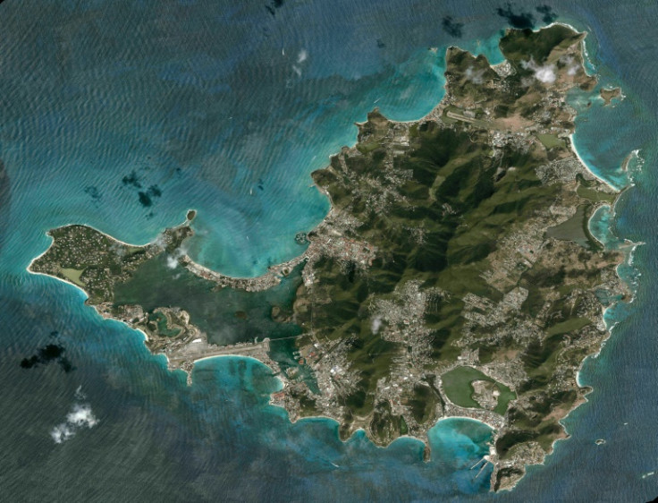
Around 400 years ago, two groups of runners -- one Dutch, one French -- are said to have set off from the same point on the Caribbean island of Saint Martin to trace the border between their nations. On Friday, this footrace frontier is set to be formally updated.
Starting from a bay on the east coast and running in opposite directions, the runners in 1648 eventually met on the west coast of the island, with a straight line between the two points forming the international border ever since.
According to the legend, the Gallic runners were faster, handing France by far the larger share of the roughly 90-square-kilometre (35-square-mile) tropical paradise, which they called Saint Martin.
The Netherlands took the southern part, which they named Sint Maarten, with the athletic feat and the peaceful coexistence of the two colonial powers leading to the territory being dubbed the "friendly island".
The so-called Concordia Hill treaty of 1648 established the boundary and has formed the basis of relations on Saint Martin/Sint Maarten ever since, although no written record for the footrace exists.
"Although there are two territories which are governed differently by two separate nations, this is neither drastic nor obvious," notes the French tourist office on its website.
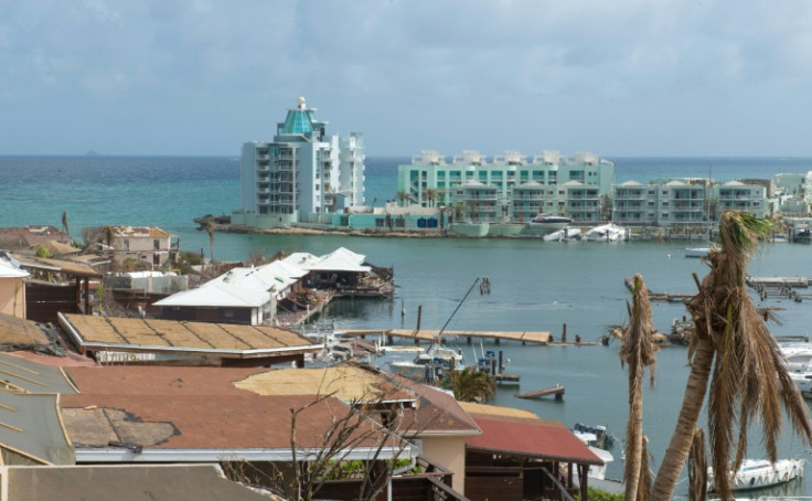
Low-level friction over administration, tax, or policing have caused problems, however, and new tensions emerged in 2017 after Hurricane Irma ripped through the local palm trees, luxury villas and plantations.
Reconstruction around Oyster Pond on the east coast -- the point of departure for the 1648 runners -- stalled because both countries disputed the exact location of the frontier.
The Dutch claimed all the waters of the bay, while the French pointed to modern international law which posits that the border should run through the mid-point of the natural harbour.
Rather than settling it with a sprint, French Interior Minister Gerald Darmanin is set to meet Sint Maarten Prime Minister Silveria Jacobs to pen a new agreement on Friday after months of sometimes difficult talks.
France, as with the running, has prevailed in the border argument.
The boundary will be "in the middle of the pond, giving equal water to both sides," Jacobs said in a statement ahead of Friday's signing ceremony.
The agreement "will help define the border in a precise and clear way," Saint Martin president Louis Mussington said, while also "preserving the free movement established in the Concordia agreement".
Resolving the conflict "will open the way for long-awaited economic and urban regeneration" of the Oyster Pond area, which suffers from higher-than-average poverty, he added.
The island is not the only territory in the Caribbean to be divided, with Haiti and the Dominican Republic sharing the same landmass.
Saint Martin/Sint Maarten, which has a history of producing salt, tobacco and sugar cane, was host to indigenous Arawak and Carib populations before the arrival of Spanish, then French and Dutch settlers in the mid-17th century.

© Copyright AFP 2024. All rights reserved.


