Google Street View To Digitize Images of Amazon Jungle

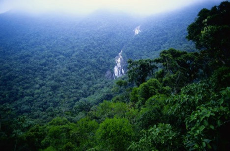
Google is taking its ‘Street View’ projects into the deepest jungles of the Amazon in South America.
The company said it will begin photographing the Amazon and Rio Negro Rivers of northwest Brazil in partnership with the Foundation for a Sustainable Amazon (FAS), a Brazilian non-profit conservation organization.
According to reports, FAS approached Google two years ago with a proposal to digitize images of the Amazon in order to highlight the ongoing deforestation of the terrain.
It is very important to show the world not only the environment and the way of life of the traditional population, but to sensitize the world to the challenges of climate change, deforestation and combating poverty,” FAS project leader Gabriel Ribenboim said, according to BBC.
Local people will be trained to take images and once the company departs, they will continue the project long-term.
Subsequently, photographic images will be connected so that Google users can have 360-degree panoramic views of the region.
The project presents some unique challenges for Google technicians.
We'll pedal the Street View trike along the narrow dirt paths of the Amazon villages and maneuver it up close to where civilization meets the rainforest, Google said in a blog.
We'll also mount it onto a boat to take photographs as the boat floats down the river.
Google said it hopes its project will give a sense of what it's like to live and work in places such as an Amazonian community centre and school.
© Copyright IBTimes 2024. All rights reserved.


