Hurricane Maria Pathway: Caribbean Islands To Get Battered Again After Irma

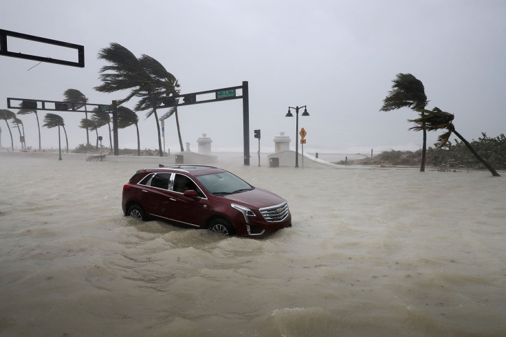
A few days after being battered by a Category 5 hurricane, many Caribbean islands are now bracing themselves for Maria, a tropical storm that was upgraded to a hurricane Saturday and is expected to strengthen over the next two days.
As of Sunday at 11 p.m. EDT, Maria was about 100 miles northeast of Barbados and about 210 miles east-southeast of Dominica, the center said, according to the National Hurricane Center (NHC). The Category 1 hurricane — with current speed of 85 mph — is forecast to continue moving toward the eastern Caribbean at 13 mph.
"Maria continues to strengthen and is expected to be at major hurricane intensity when it affects portions of the Leeward Islands over the next few days, bringing dangerous wind, storm surge and rainfall hazards," the hurricane center said, the Guardian reported.
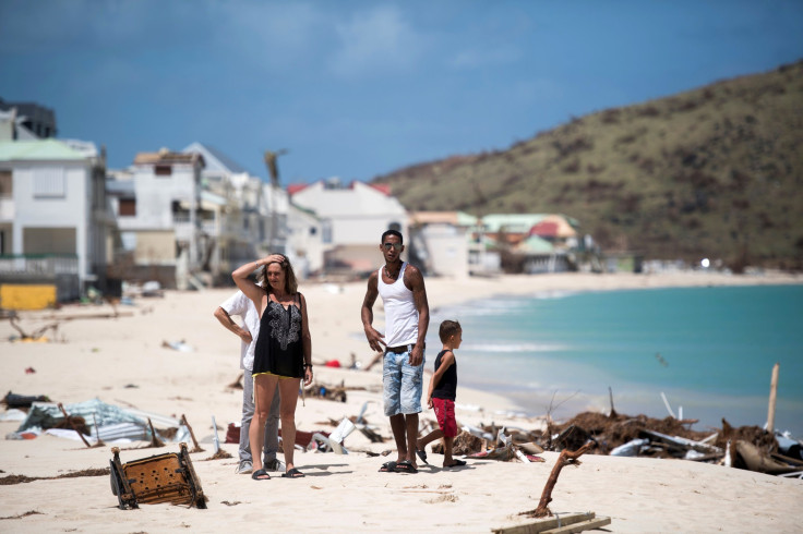
Hurricane watch and warnings have been issued for several Caribbean islands, including many that were just devastated by Hurricane Irma earlier this month.
This will be the third time in history that two hurricanes will have passed within 75 nautical miles of the Virgin Islands during the same hurricane season.
Some of the areas of the Caribbean that are expected to experience heavy rains and gusts of winds by late Monday or early Tuesday are Antigua and Barbuda, Dominica, Saba, St. Eustatius, St. Kitts and Nevis, Montserrat, Guadeloupe, St. Maarten and St. Martin, St. Barts and Anguilla, St. Lucia, Martinique, Barbados and St. Vincent and the Grenadines, NBC News reported.
Some of the places where a hurricane warning has already been issued are Guadeloupe, Dominica, St. Kitts, Nevis and Montserrat.
On the other hand, places such as the U.S. Virgin Islands, British Virgin Islands, Saba and St. Eustatius, St. Maarten, St. Martin and St. Barthelemy and Anguilla, have been told to closely monitor the path Hurricane Maria takes in the next few days.
Maria may escalate to a Category 3 hurricane before it hits the Leeward Islands in the northeastern Caribbean Sea and has the potential to become a Category 4 storm before it makes landfall in Puerto Rico, which would also impact the Virgin Islands and Hispañiola sometime in the middle of the following week, Weather reported.
Parts of the Dominican Republic and Haiti could experience hurricane-like conditions from Maria from early Thursday.
Many areas in the central and southern parts of the Leeward Islands could experience 6 to 12 inches of rain throughout Tuesday night, while some places might get up to 20 inches of heavy showers. There also remains a possibility of flash floods and mudslides in a number of areas which experience heavy rains.

Some of the weathering conditions that may work in favor of Hurricane Maria growing stronger are combination of a moist atmosphere, low wind shear and warm ocean temperatures.
It is the seventh hurricane to form in the Atlantic Ocean in 2017. According to meteorologists, it is too early to tell if Hurricane Maria will have a direct impact on the United States.
Factors like steering currents in the upper atmosphere over the western Atlantic Ocean and the eastern United States that may influence Maria's path cannot be pinned down more than a week in advance, the Weather report said.
Another factor that may play a vital role in determining Maria's pathway is Category 1 Hurricane Jose, which is likely to graze the Northeastern coast of U.S. in the weekend. Its potential to stall off the coast could play some role in determining Maria's future path.
However, even if Maria makes its way to the U.S. without reducing to a tropical storm, it will not be before the final week of September.
Additional details on Hurricane Maria’s pathway and how it could impact the areas through which it passes will be known as and when they become available.
© Copyright IBTimes 2024. All rights reserved.


