iPad Takes To The Air With Map App For Pilots

The iPad is taking to the air, and pilots will no longer need to carry paper charts with them.
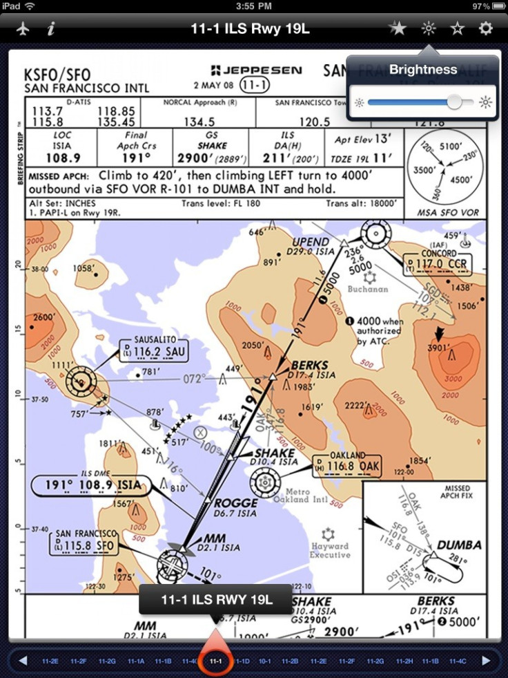
The Federal Aviation Administration has authorized the use of a mapping app for the iPad on flights. The first pilots to use it will be at Executive Jet Management, a company that flies private jets.
Jeppesen, which provides technology to the aviation industry, has come up with the app. While there are other electronic chart systems available, they tend to be expensive, with prices in the thousands of dollars. An iPad, by contrast, costs in the hundreds. Paper charts are useful, but they need to be updated, and in aviation that is rather often, as airports all have different schedules. In addition, paper charts can weigh a lot, and weight adds to the cost of flight.
Jeff Buhl, senior manager of navigation solutions at Jeppesen, noted that the app doesn't use the iPad's wireless communications capability when on the plane (the 3G or WiFi radios engage when updated charts are downloading on the ground). The app itself is free but the user pays a subscription fee for the updated charts. Buhl would not say what other airlines had looked at the app, but he did say pilots could expect to be using it soon at several other carriers soon.
The iPad has a GPS capability, and future versions of the app will make use of it. One reason it wasn't in the early versions is that the software needed to be aviation-grade. Typical commercial GPS units bought in a sporting goods store wouldn't be accurate enough. Future versions of the app will show where the plane is relative to the ground, similar to the map displays that are shown on many flights. That update should arrive in the next few months.
Pilots are required to carry backup methods of navigation in case the iPad crashes, either by having another available, one of the onboard systems, or even paper charts.
To contact the reporter responsible for this story call (646) 461 6917 or email j.emspak@ibtimes.com.
© Copyright IBTimes 2024. All rights reserved.


