North Korea's 2017 Nuke Test Lifted A Whole Mountain Off The Ground

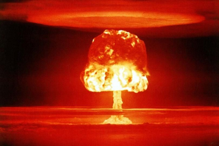
In September of 2017, North Korea conducted an underground nuclear test that literally moved a mountain, according to a study by the Indian Space Research Organization (ISRO). The blast was estimated to be about 17 times the strength of the atomic bomb dropped on Hiroshima, Japan, on Aug. 6, 1945.
To understand how powerful this is, consider that a standard-issue hand grenade has about 200 grams of explosive material. When it explodes it can send metal shrapnel up to 200 meters. The blast will cause serious bodily harm and likely kill anyone in proximity. The simultaneous explosion of 5,000 hand grenades with 200 grams of explosive each will be a 1 kilotonne (a metric kiloton) blast as one million grams of TNT (Trinitrotoluene) ignites.
The Hiroshima bomb had the equivalent of 15 kt, its sister bomb that landed on Nagasaki three days later was a 20 kt weapon. Compare that to the North Korean bomb estimated at 271 kt TNT equivalency. Unlike conventional bombs that use a direct hit to destroy things, the damage caused by a nuclear explosion is from the shock wave when the bomb detonates about 600 meters above the ground. The North Korean blast took place 542 meters underground.
The other issue with nuclear weapons is that the radiation and radioactive fallout from the nuclear fission process will remain dangerous for weeks or months.
The data from the ISRO study was published in the Geophysical Journal International. The lead author, Dr. Kattumadam Sreejith, told the British news agency SWNS that, "The amount of energy released when the nuclear bomb was detonated was equivalent to up to 271 kilotonnes (kt) of TNT.”
The ISRO research team studied data from a Japanese ALOS-2 satellite and used a technique known as InSAR (Interferometric Synthetic Aperture Radar) to measure the changes on the surface.
The satellite’s advanced radars are normally used to detect changing land cover, ground deformation, ice shelves and glaciers and can be helpful during an emergency where an earthquake or flood has altered the topography. This was the first time the technology was applied to measure the changes caused by a bomb blast.
North Korea conducted a total of six tests at the site, the final one in September 2017 moved Mt. Mantap sideways by almost two feet and upward by several feet. The mountain is about 230 miles northeast of Pyongyang.
In 2018, the North Korean government destroyed the tunnels at the nuclear test site and said it was a gesture to ease global tensions. That was probably an easy job as a team of Chinese geologists concluded that the tunnels were already partially collapsed due to the multiple nuclear explosions.
© Copyright IBTimes 2024. All rights reserved.


