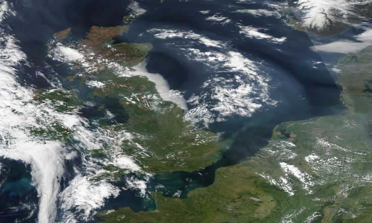
Scientists Uncover Evidence Of Ancient Geological Brexit That Cleaved Britain From Europe

Unless you’ve been living under a rock for the past year or so, you would have definitely heard the word “Brexit” being thrown around a lot. What you might not know, and what researchers have revealed in a new study, is that the original Brexit — a geological one — took place much before our species even came into the picture.
According to the authors of the study — published Tuesday in the journal Nature Communications — until about 450,000 years ago, a huge rock ridge connected Britain to France. Roughly 150,000 years ago, this land bridge was breached by catastrophic flooding that destroyed the structure already weakened by the overflow of a glacial lake that existed just north of the ridge — cleaving Britain from mainland Europe.
“The breaching of this land bridge between Dover and Calais was undeniably one of the most important events in British history, helping to shape our island nation’s identity even today,” study co-author Sanjeev Gupta from Imperial College London said in a statement released Tuesday. “Without this dramatic breaching Britain would still be a part of Europe. This is Brexit 1.0 – the Brexit nobody voted for.”
This ancient Brexit occurred in two stages. In the first stage, a large glacial lake believed to have formed at the edge of an ice sheet that covered much of Europe spilled over the ridge. The lake overflowed in giant waterfalls, eroding the rock escarpment, weakening it and eventually causing it to fail and release huge volumes of water onto the valley floor below.
The evidence for this spillover was discovered in the seafloor of the English Channel, where the researchers found seven huge “plunge pools” created by water cascading over the ridge and hitting the ground.
“While it is widely held that initial opening of the Strait was a consequence of spillover of a proglacial lake that existed in the southern North Sea basin … direct evidence for this spillover process has up to now been lacking,” the researchers wrote in the study. “The new data show that at least two significant erosional episodes shaped the opening of the Strait.”
The next stage, which fully opened the Dover Strait, occurred approximately 150,000 years ago. Megafloods broke through the weakened chalk ridge, completely destroying the structure that had for so long served as a dam holding back the northern glacial lake.
“We see this huge valley carved through the strait, about eight to 10km wide... and it has a lot of features that are suggestive of flood erosion,” Gupta told BBC News.
Although the researchers are now quite confident that they have fit together most — if not all — the pieces of this longstanding geological puzzle, there are a few questions that still remain unanswered. The exact timeline of the events is one such question.
“We still don’t know for sure why the proglacial lake spilt over. Perhaps part of the ice sheet broke off, collapsing into the lake, causing a surge that carved a path for the water to cascade off the chalk ridge,” study co-author Jenny Collier said in the statement. “In terms of the catastrophic failure of the ridge, maybe an earth tremor, which is still characteristic of this region today, further weakened the ridge. This may have caused the chalk ridge to collapse, releasing the megaflood that we have found evidence for in our studies.”
© Copyright IBTimes 2024. All rights reserved.


