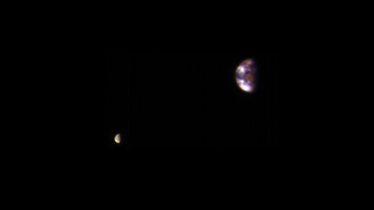
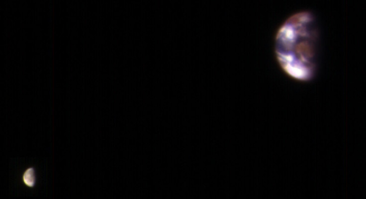
Earth, Moon Photographed From Mars

The most powerful telescope that has been orbiting Mars for over 10 years now sent back a striking image two months ago. Actually, it was four separate photographs, of which two were selected to be made into one composite image, but the result is still spectacular.

The two exposures used in the image, both taken on Nov. 20, 2016 by the High Resolution Imaging Science Experiment (HiRISE) camera on NASA's Mars Reconnaissance Orbiter, were processed to ensure that details on both Earth and the moon are visible. Since the moon is much darker than Earth, it would have been barely visible if the two bodies were shown at the same scale of brightness.
The composite image retains the correct position and relative size of Earth and the moon. The moon appears closer to Earth in the image than it actually is, because the observation was planned for a time when the two bodies were almost aligned, as seen from Mars.
The landmass seen in the middle of Earth is Australia, as seen from a distance of about 127 million miles (205 million kilometers), which is how far Mars was when the images were captured. The reddish parts on top and top-left of Earth correspond with Southeast Asia, while the bright portion at bottom-left is Antarctica. The other bright patches are clouds.
The HiRISE camera takes pictures in three wavelength bands: infrared, red and blue-green, which correspond with red, green and blue respectively in this image. That explains why landmasses, with their green vegetation, appear red.
The Mars Reconnaissance Orbiter has been studying Mars since 2006, using HiRISE and five other instruments.
© Copyright IBTimes 2024. All rights reserved.


